


Rondfaing

pascha
User
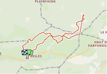

Length
10.7 km

Max alt
1062 m

Uphill gradient
352 m
Km-Effort
15.4 km

Min alt
804 m

Downhill gradient
365 m
Boucle
Yes
Creation date :
2019-05-06 15:13:25.662
Updated on :
2019-05-06 15:13:25.662
5h37
Difficulty : Easy

FREE GPS app for hiking
 SityTrail
IGN / Geographical institutes
SityTrail Plus
The world is yours!
About
Trail Walking of 10.7 km to be discovered at Grand Est, Vosges, Basse-sur-le-Rupt. This trail is proposed by pascha.
Positioning
Country:
France
Region :
Grand Est
Department/Province :
Vosges
Municipality :
Basse-sur-le-Rupt
Location:
Unknown
Start:(Dec)
Start:(UTM)
335300 ; 5317249 (32T) N.
Comments