


Balbronn

apa
User
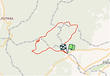

Length
13.2 km

Max alt
667 m

Uphill gradient
432 m
Km-Effort
18.9 km

Min alt
265 m

Downhill gradient
432 m
Boucle
Yes
Creation date :
2019-05-06 15:21:37.095
Updated on :
2020-01-26 19:01:30.564
4h15
Difficulty : Medium

FREE GPS app for hiking
 SityTrail
IGN / Geographical institutes
SityTrail Plus
The world is yours!
About
Trail Walking of 13.2 km to be discovered at Grand Est, Bas-Rhin, Still. This trail is proposed by apa.
Description
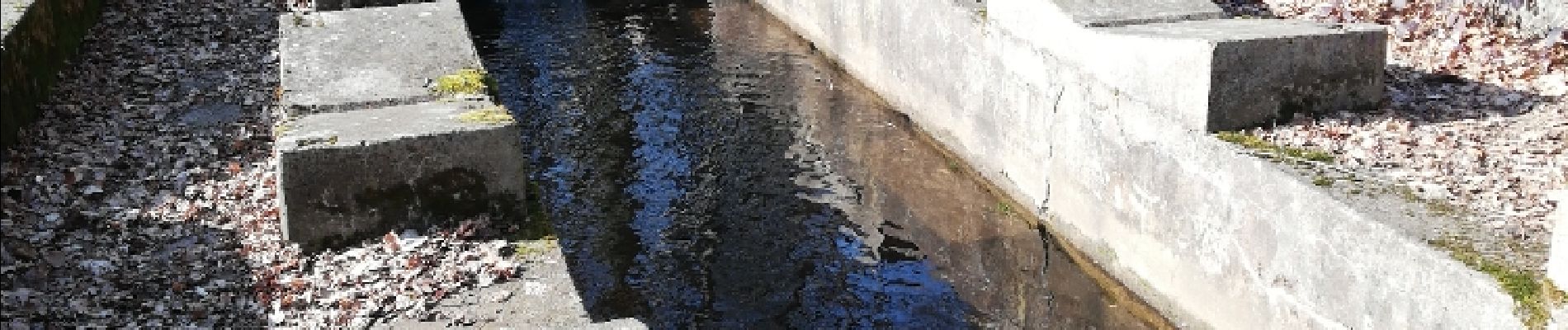
Rando falaise
Photos


Positioning
Country:
France
Region :
Grand Est
Department/Province :
Bas-Rhin
Municipality :
Still
Location:
Unknown
Start:(Dec)
Start:(UTM)
380571 ; 5381904 (32U) N.
Comments