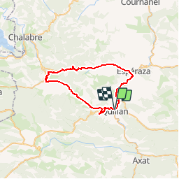
CCS FFC Aude en Pyrénées - Circuit n°13 - Quillan

tracegps
User


2h00
Difficulty : Medium

FREE GPS app for hiking
 SityTrail
IGN / Geographical institutes
SityTrail Plus
The world is yours!
About
Trail Cycle of 41 km to be discovered at Occitania, Aude, Quillan. This trail is proposed by tracegps.
Description
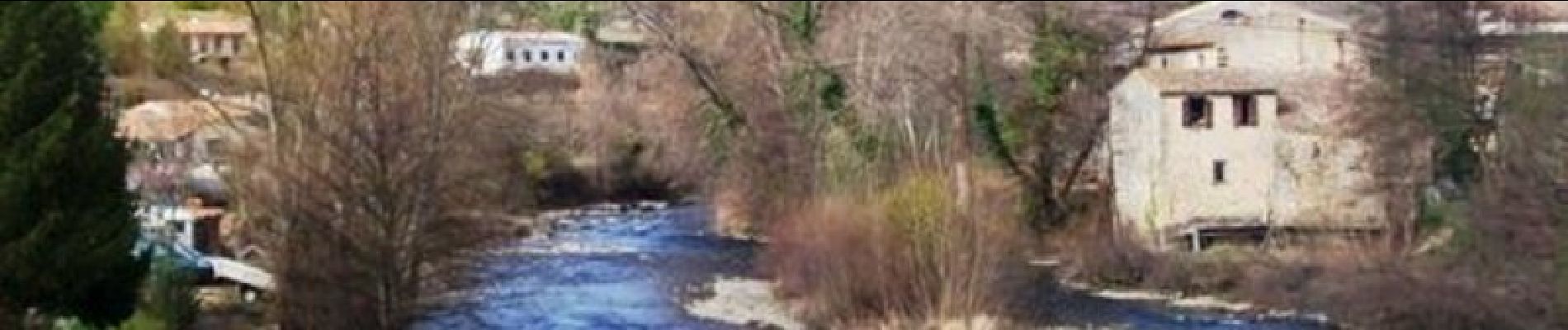
Une petite boucle très agréable. Emprunter la petite route longeant la rive gauche de l’Aude, puis commencer la montée du col des Tougnets. Vous pourrez admirer le Château de Puivert et apprécier ce plateau vert, autrefois un grand lac, avant d’entamer la descente assez plaisante du Col du Portel. Textes de Patrick Rault et Louis Mounié.
Photos


Positioning
Comments