


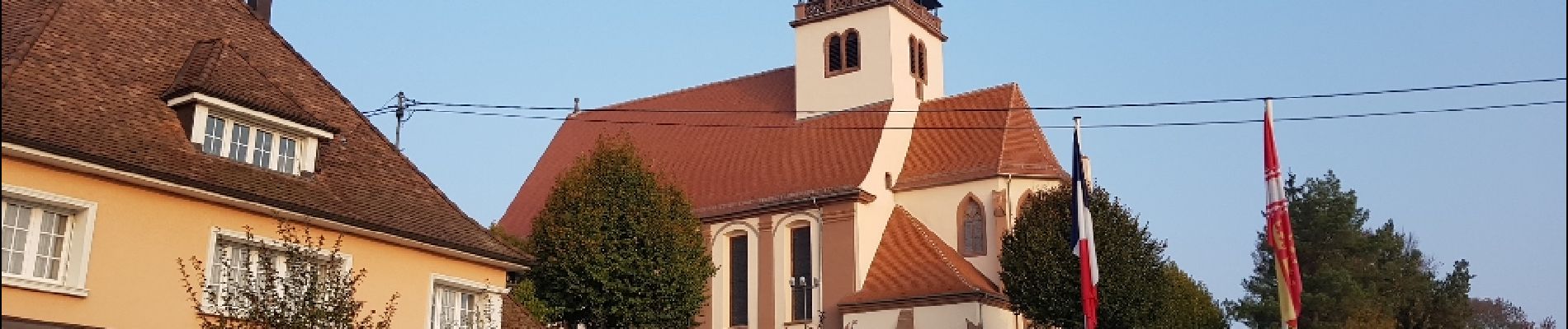
Lauterbourg

uru2010
User
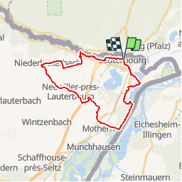

Length
24 km

Max alt
169 m

Uphill gradient
182 m
Km-Effort
27 km

Min alt
105 m

Downhill gradient
181 m
Boucle
Yes
Creation date :
2019-02-25 16:04:07.321
Updated on :
2019-02-25 16:18:06.561
6h40
Difficulty : Easy

FREE GPS app for hiking
 SityTrail
IGN / Geographical institutes
SityTrail Plus
The world is yours!
About
Trail Walking of 24 km to be discovered at Grand Est, Bas-Rhin, Lauterbourg. This trail is proposed by uru2010.
Description
Départ depuis le village de Lauterbourg.
Ballade en boucle le long du Rhin puis dans la campagne et les villages avoisinants pour revenir à Lauterbourg.
Photos


Positioning
Country:
France
Region :
Grand Est
Department/Province :
Bas-Rhin
Municipality :
Lauterbourg
Location:
Unknown
Start:(Dec)
Start:(UTM)
439863 ; 5424947 (32U) N.
Comments