


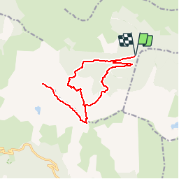

11.9 km | 23 km-effort


User


FREE GPS app for hiking
 SityTrail
IGN / Geographical institutes
SityTrail World
The world is yours!
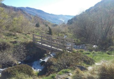
Trail Walking of 16.8 km to be discovered at Occitania, Ariège, Rabat-les-Trois-Seigneurs. This trail is proposed by tracegps.
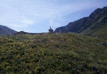
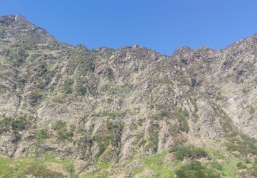
Circuit proposé par l’Office de Tourisme de Tarascon & du Vicdessos. Départ de La Freyte et suivez la route jusqu’à la fin du macadam, au Pla du Ressec où vous parquez votre véhicule. Le pic des Trois Seigneurs est fréquemment atteint du Vicdessos par la vallée de la Courbière et l’étang bleu, l’itinéraire gagne à être parcouru par cette profonde vallée dominée par des sommets ronds et débonnaires. A la clé, un panorama géant s’y découvre ! Vous pouvez vous procurer le topoguide auprès de l’Office de Tourisme de Tarascon & du Vicdessos.


Walking

Walking

Walking
Walking
Walking
Walking
Walking
Walking