


155 km | 195 km-effort


User


FREE GPS app for hiking
 SityTrail
IGN / Geographical institutes
SityTrail World
The world is yours!
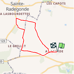
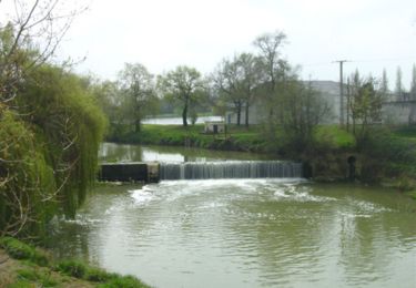
Trail Walking of 6.6 km to be discovered at Occitania, Gers, Fleurance. This trail is proposed by tracegps.
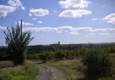
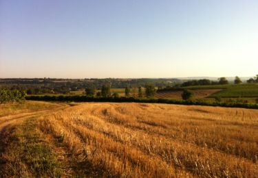
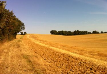
Quand on marchait sur les chemins… - Fleurance Départ de l’église de Lagarde (près du hameau des étoiles). A voir le Village de Ste Radegonde, la chapelle de St Lary… Circuit numérisé par la Communauté de Communes de la Lomagne Gersoise.

Mountain bike

Mountain bike
Mountain bike
Mountain bike
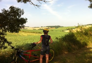
Mountain bike

Walking
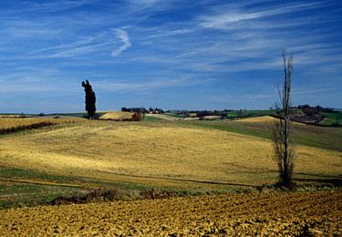
Walking
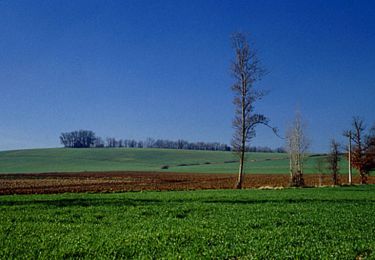
Walking
Walking