Trail Walking Ourton - Les coteaux de la Biette - Ourton - Photo

Les coteaux de la Biette - Ourton

 tracegps
tracegps

User

© OpenStreetMap contributors
Length
Length
9.6 km
Max alt
Max alt
166 m
Uphill gradient
Uphill gradient
141 m
Km-Effort
Km-Effort  
11.4 km
Min alt
Min alt
81 m
Downhill gradient
Downhill gradient
139 m
Boucle
Boucle
Yes
Creation date :
2014-12-10 00:00:00.0
Updated on :
2014-12-10 00:00:00.0

(0 Reviews)

Walking
Walking
2h30
Difficulty : Medium

Scan this QR Code to open this trail in the SityTrail application

FREE GPS app for hiking

Logo SityTrail SityTrail

IGN / Geographical institutes

Download SityTrail from the App Store Download SityTrail from Google Play

Logo SityTrail SityTrail World

The world is yours!

Download SityTrail from the App Store Download SityTrail from Google Play Download SityTrail on Huawei AppGallery

About

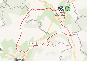
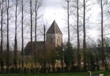
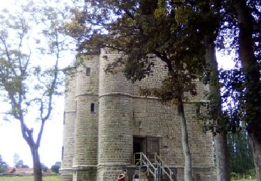
Trail Walking of 9.6 km to be discovered at Hauts-de-France, Pas-de-Calais, Ourton. This trail is proposed by tracegps.

Description

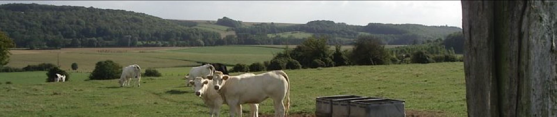
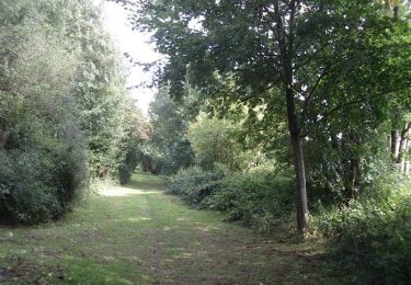
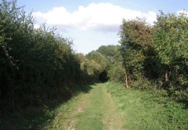
Circuit proposé par l’Office de tourisme Intercommunal de Béthune – Bruay. Départ du parking de la salle des fêtes d’Ourton. Comme son nom l’indique, ce circuit permet de longer la Biette de part et d’autres de la vallée. Ce circuit a été numérisé par les randonneurs du CODEPEM.

Elevation profile

Photos

Positioning

Country:
France
Region :
Hauts-de-France
Department/Province :
Pas-de-Calais
Municipality :
Ourton
Location:
Unknown
Start:(UTM)
463136 ; 5589369 (31U) N.

Trails nearby

Trail On foot Beugin - de Beugin à Bajus - Photo
On foot
Templeuveenmarche

On foot

Easy
(1)
Beugin, Hauts-de-France, Pas-de-Calais, France
10.7 km | 13 km-effort
2h 10min
Yes
Trail Other activity Houdain - Artois tour - Photo
Other activity
cnockaert

Other activity

Very easy
(1)
Houdain, Hauts-de-France, Pas-de-Calais, France
48 km | 59 km-effort
48min
Yes
Trail Walking Bajus - Les prêles de Bajus - Photo
Walking
tracegps

Walking

Very difficult
Bajus, Hauts-de-France, Pas-de-Calais, France
16 km | 18.8 km-effort
4h 0min
Yes
Trail Walking Houdain - Les Châtaignes d'Houdain - Photo
Walking
tracegps

Walking

Medium
Houdain, Hauts-de-France, Pas-de-Calais, France
7 km | 8.4 km-effort
2h 0min
Yes
Trail Walking La Comté - Autour de Bajus - Photo
Walking
tracegps

Walking

Medium
La Comté, Hauts-de-France, Pas-de-Calais, France
12 km | 14.1 km-effort
2h 30min
Yes
Trail Running Houdain - viking  - Photo
Running
Viking

Running

Very easy
Houdain, Hauts-de-France, Pas-de-Calais, France
10.6 km | 12 km-effort
1h 24min
Yes
Trail Trail Houdain - viking  - Photo
Trail
Viking

Trail

Very easy
Houdain, Hauts-de-France, Pas-de-Calais, France
14.5 km | 16.6 km-effort
2h 4min
Yes
Trail Running Houdain - viking  - Photo
Running
Viking

Running

Very easy
Houdain, Hauts-de-France, Pas-de-Calais, France
5.1 km | 5.7 km-effort
40min
Yes
Trail Other activity Camblain-Châtelain - bours - Photo
Other activity
samiez

Other activity

Very easy
Camblain-Châtelain, Hauts-de-France, Pas-de-Calais, France
12.1 km | 13.3 km-effort
1h 29min
Yes


Close
My subscriptions