


09/03/2019 - CARENTOIR Est à Quelneuc et Trémeleuc.Virtuel

babeth35
User
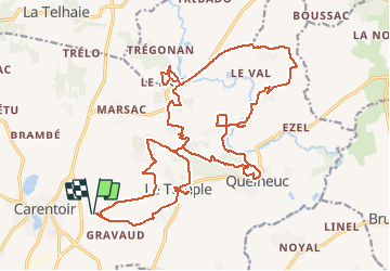

Length
26 km

Max alt
104 m

Uphill gradient
483 m
Km-Effort
32 km

Min alt
14 m

Downhill gradient
482 m
Boucle
Yes
Creation date :
2019-03-10 13:49:43.9
Updated on :
2020-07-20 14:59:27.289
6h58
Difficulty : Medium

FREE GPS app for hiking
 SityTrail
IGN / Geographical institutes
SityTrail Plus
The world is yours!
About
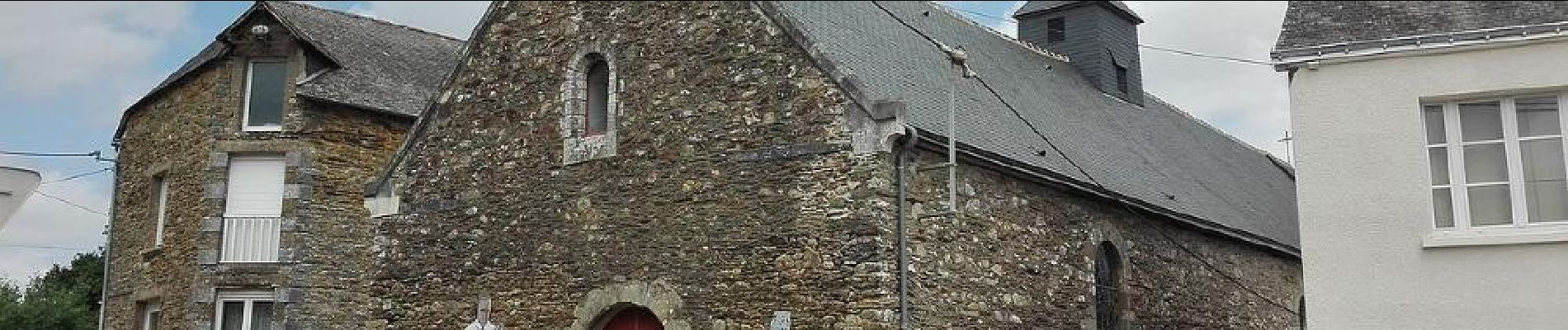
Trail Walking of 26 km to be discovered at Brittany, Morbihan, Carentoir. This trail is proposed by babeth35.
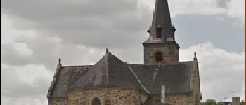
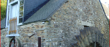
Photos


Positioning
Country:
France
Region :
Brittany
Department/Province :
Morbihan
Municipality :
Carentoir
Location:
Carentoir
Start:(Dec)
Start:(UTM)
565952 ; 5296216 (30T) N.
Comments