


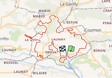
11/03/2019 - De LA GACILLY sud à GLENAC.Virtuel

babeth35
User

Length
27 km

Max alt
94 m

Uphill gradient
491 m
Km-Effort
34 km

Min alt
-1 m

Downhill gradient
489 m
Boucle
Yes
Creation date :
2019-03-15 18:44:17.655
Updated on :
2020-07-20 14:59:19.143
7h17
Difficulty : Medium

FREE GPS app for hiking
 SityTrail
IGN / Geographical institutes
SityTrail Plus
The world is yours!
About
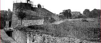
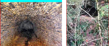
Trail Walking of 27 km to be discovered at Brittany, Morbihan, La Gacilly. This trail is proposed by babeth35.
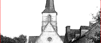
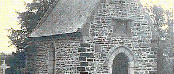
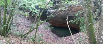
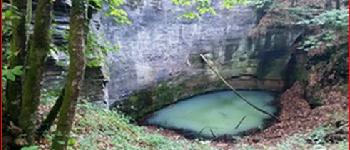
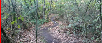
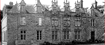
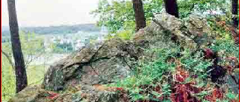
Photos


Points of interest


Positioning
Country:
France
Region :
Brittany
Department/Province :
Morbihan
Municipality :
La Gacilly
Location:
Unknown
Start:(Dec)
Start:(UTM)
564964 ; 5286320 (30T) N.
Comments