


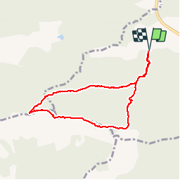

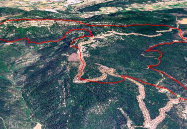
3.6 km | 5 km-effort


User


FREE GPS app for hiking
 SityTrail
IGN / Geographical institutes
SityTrail World
The world is yours!
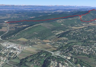
Trail Walking of 7.8 km to be discovered at Provence-Alpes-Côte d'Azur, Var, Brignoles. This trail is proposed by fredetpascale.
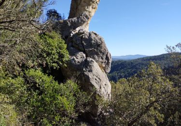
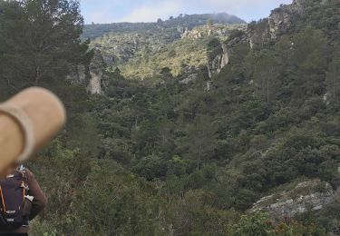
Dolmen en mauvais état, source des Gaulois, crête sympa et belle vue.


Walking
Walking

Walking
Walking
Walking
Walking
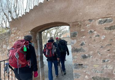
Walking
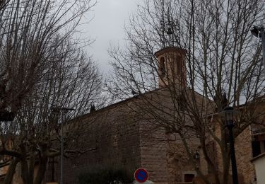
Walking

Walking