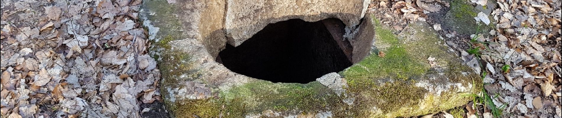
Réseau d'eau ancien de Villers-Cotteret

bianchireg
User
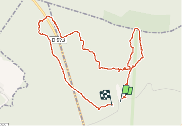

Length
5.6 km

Max alt
236 m

Uphill gradient
126 m
Km-Effort
7.2 km

Min alt
168 m

Downhill gradient
124 m
Boucle
Yes
Creation date :
2019-05-06 23:12:51.584
Updated on :
2019-05-06 23:12:51.584
1h36
Difficulty : Easy

FREE GPS app for hiking
 SityTrail
IGN / Geographical institutes
SityTrail Plus
The world is yours!
About
Trail Walking of 5.6 km to be discovered at Hauts-de-France, Aisne, Villers-Cotterêts. This trail is proposed by bianchireg.
Photos


Positioning
Country:
France
Region :
Hauts-de-France
Department/Province :
Aisne
Municipality :
Villers-Cotterêts
Location:
Unknown
Start:(Dec)
Start:(UTM)
506654 ; 5458024 (31U) N.
Comments