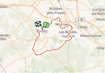


8.1 km | 10.5 km-effort


User


FREE GPS app for hiking
 SityTrail
IGN / Geographical institutes
SityTrail World
The world is yours!
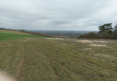
Trail Cycle of 51 km to be discovered at Grand Est, Aube, Bouilly. This trail is proposed by tracegps.
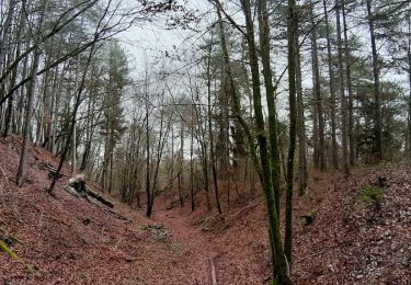
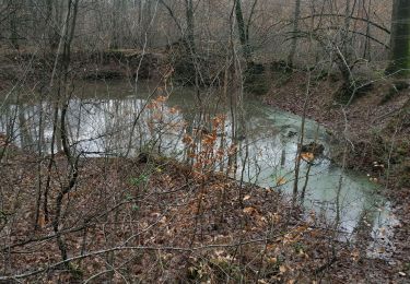
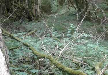
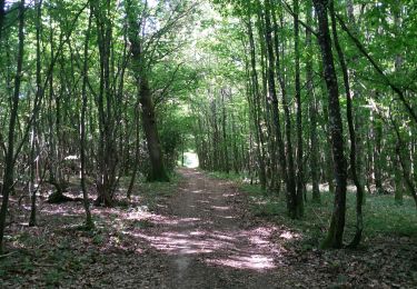
Proposé par le Comité Départemental du Tourisme de l'Aube, un circuit créé et validé par la Fédération Départementale du Cyclotourisme de l’Aube. Du Pays d’Othe à la forêt de Chaource – 51 km – niveau facile A voir lors de votre circuit : - Église Saint-Laurent de Bouilly (16ème siècle) - Forêt de Crogny - Église aux 3 sanctuaires d’Isle Aumont


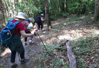
Walking
Walking

Mountain bike
Mountain bike
Walking
Walking
Walking