


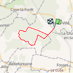

7.9 km | 10 km-effort


User


FREE GPS app for hiking
 SityTrail
IGN / Geographical institutes
SityTrail World
The world is yours!
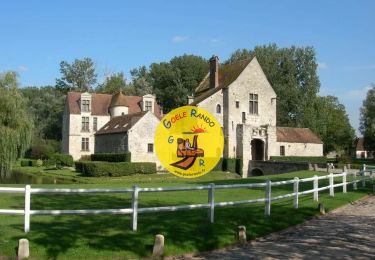
Trail Walking of 9.2 km to be discovered at Hauts-de-France, Oise, Orry-la-Ville. This trail is proposed by tracegps.
Circuit proposé par le Parc Naturel Régional Oise – Pays de France. Départ de la Maison du Parc à Orry-la-Ville. Retrouvez le circuit sur le site du Parc Naturel régional Oise – Pays de France.


Walking
Walking

Walking

Walking
Walking
Walking

Walking

Walking

Walking
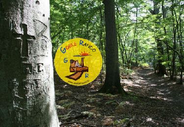
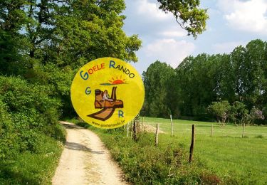
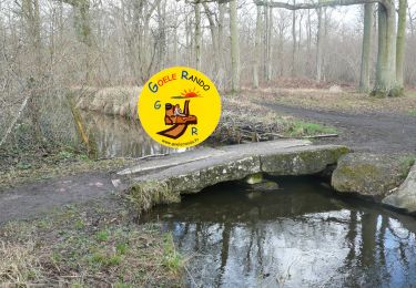
Paysages variées.
Très belle journée sur ce parcours plein de belles surprises.