


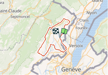

61 km | 77 km-effort


User


FREE GPS app for hiking
 SityTrail
IGN / Geographical institutes
SityTrail World
The world is yours!
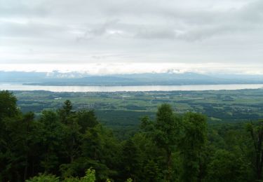
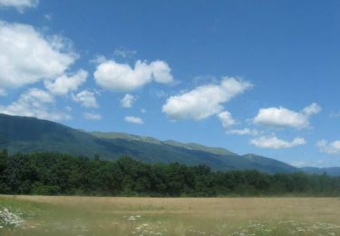
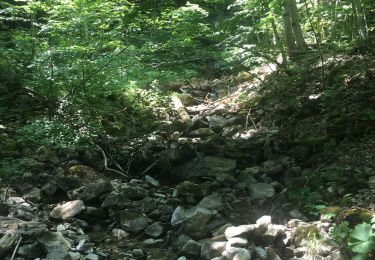
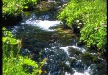
Trail Cycle of 48 km to be discovered at Auvergne-Rhône-Alpes, Ain, Versonnex. This trail is proposed by tracegps.
Circuit proposé par l'office de tourisme de Gex – la Faucille. Départ de Veronnex.


Cycle
Cycle
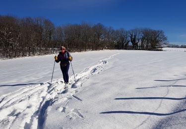
Cross-country skiing
Walking
Mountain bike

Walking
