


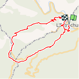

13.6 km | 21 km-effort

User


FREE GPS app for hiking
 SityTrail
IGN / Geographical institutes
SityTrail World
The world is yours!
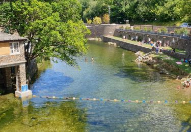
Trail Walking of 10.2 km to be discovered at Occitania, Gard, L'Estréchure. This trail is proposed by tracegps.
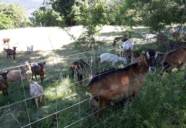
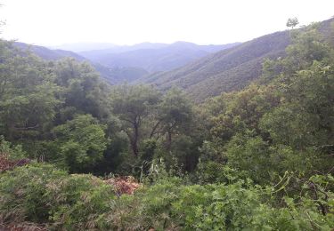
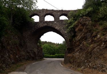
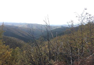
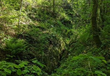
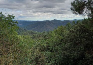
Circuit proposé par l'Office de Tourisme de la Vallée Borgne. Le sentier du Soult, en vieux français source, s’enfonce dans les bois qui surplombent le village de L’Estréchure. Il passe près du massif du Liron et offre des points de vue à plus de 750 m d’altitude. Sapins, pins, chênes et surtout châtaigniers y forment une forêt typique. Départ du Pont de Trousse (proche camping du Verdier) La pochette de 15 circuits balisés est en vente (5€) à l’Office de Tourisme de la Vallée Borgne. L’Office de Tourisme est ouvert toute l'année. Vous trouverez sur place de quoi se restaurer et dormir.


Walking
Walking
Walking

Walking
Walking
Walking
Walking
Walking
a faire