


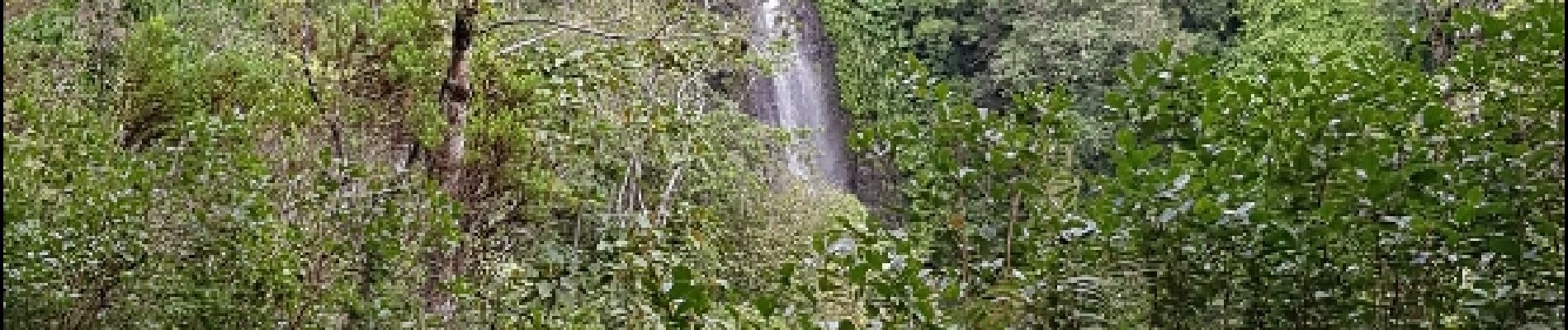
Cascade Maniquet depuis St Denis en passant par la Providence

lgmalherbe
User
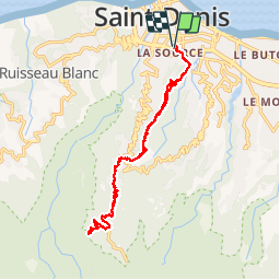

Length
25 km

Max alt
1102 m

Uphill gradient
1185 m
Km-Effort
41 km

Min alt
33 m

Downhill gradient
1183 m
Boucle
Yes
Creation date :
2019-05-01 15:03:10.94
Updated on :
2019-05-01 15:03:10.94
6h39
Difficulty : Difficult

FREE GPS app for hiking
 SityTrail
IGN / Geographical institutes
SityTrail Plus
The world is yours!
About
Trail Walking of 25 km to be discovered at Réunion, Unknown, Saint-Denis. This trail is proposed by lgmalherbe.
Photos


Positioning
Country:
France
Region :
Réunion
Department/Province :
Unknown
Municipality :
Saint-Denis
Location:
Unknown
Start:(Dec)
Start:(UTM)
339016 ; 7689383 (40K) S.
Comments