Trail Walking Charleville-Mézières - Berthaucourt - Photo
© OpenStreetMap contributors
Length
Length
5.7 km
Max alt
Max alt
218 m
Uphill gradient
Uphill gradient
97 m
Km-Effort
Km-Effort  
7.1 km
Min alt
Min alt
139 m
Downhill gradient
Downhill gradient
108 m
Boucle
Boucle
Yes
Creation date :
2019-05-06 23:43:25.159
Updated on :
2019-05-06 23:43:25.159

(0 Reviews)

Walking
Walking
1h34
Difficulty : Very easy

Scan this QR Code to open this trail in the SityTrail application

FREE GPS app for hiking

Logo SityTrail SityTrail

IGN / Geographical institutes

Download SityTrail from the App Store Download SityTrail from Google Play

Logo SityTrail SityTrail World

The world is yours!

Download SityTrail from the App Store Download SityTrail from Google Play Download SityTrail on Huawei AppGallery

About

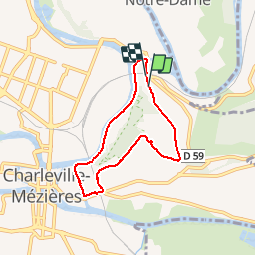
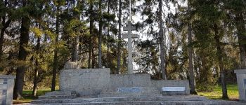
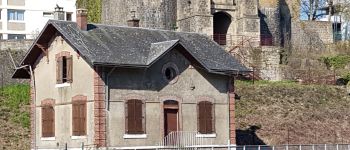
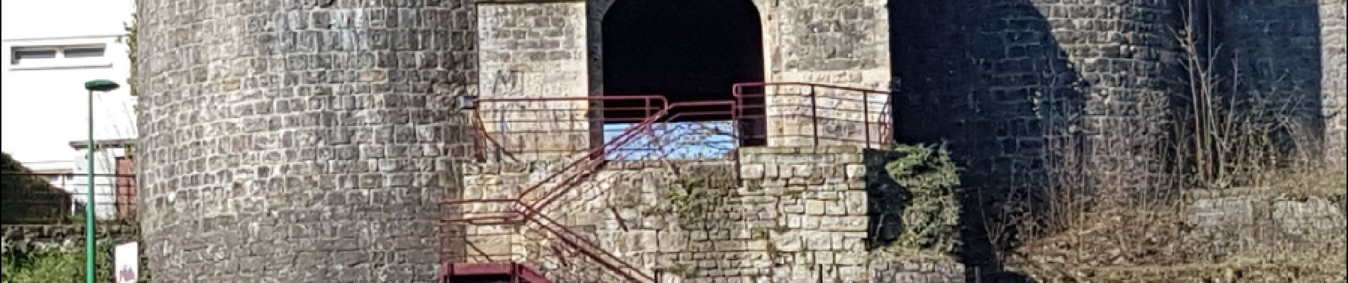
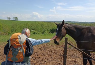
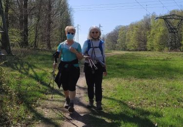
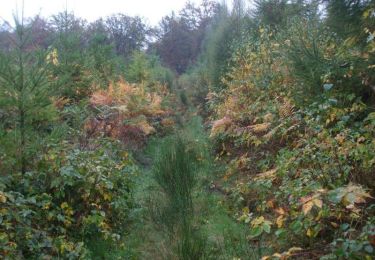
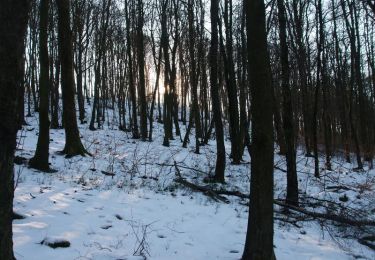
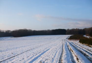
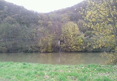
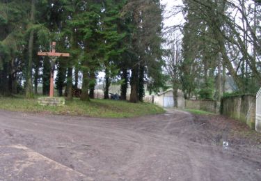
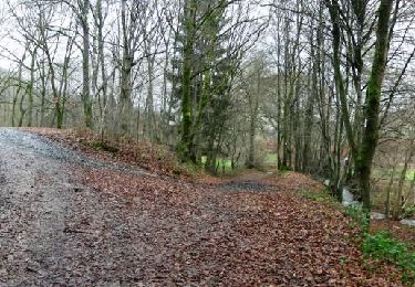
Trail Walking of 5.7 km to be discovered at Grand Est, Ardennes, Charleville-Mézières. This trail is proposed by jmboucher.

Description

Autour du plateau de Berthaucourt

Elevation profile

Photos

Points of interest

Point of interest Charleville-Mézières - montcy notre dame - Photo
jmboucher
CHARLEVILLE-MÉZIÈRES 
Point of interest Charleville-Mézières - marionnettes - Photo
jmboucher
CHARLEVILLE-MÉZIÈRES 
Point of interest Charleville-Mézières - monument résistance ardennaise - Photo
jmboucher
CHARLEVILLE-MÉZIÈRES 
Point of interest Charleville-Mézières - mezieres - Photo
jmboucher
CHARLEVILLE-MÉZIÈRES 
Point of interest Charleville-Mézières - maison de l'eclusier - Photo
jmboucher
CHARLEVILLE-MÉZIÈRES 
Point of interest Charleville-Mézières - Porte de bourgogne - Photo
jmboucher
CHARLEVILLE-MÉZIÈRES 

Positioning

Country:
France
Region :
Grand Est
Department/Province :
Ardennes
Municipality :
Charleville-Mézières
Location:
Unknown
Start:(UTM)
625035 ; 5514608 (31U) N.

Trails nearby

Trail Walking Charleville-Mézières - De Charleville Mézières à Olly (Commune d'Illy)  - Photo
Walking
jeff2

Walking

Medium
Charleville-Mézières, Grand Est, Ardennes, France
28 km | 33 km-effort
8h 20min
No
Trail Walking Neufmanil - 2022-01-10_15h31m44_SityTrail - 2331539 - neufmanil-2020x02x11 - Photo
Walking

Walking

Very difficult
(1)
Neufmanil, Grand Est, Ardennes, France
14.1 km | 19.1 km-effort
4h 20min
Yes
Trail Walking Charleville-Mézières - la havetiere CHM - Photo
Walking
labotte

Walking

Easy
Charleville-Mézières, Grand Est, Ardennes, France
10.5 km | 14 km-effort
2h 41min
Yes
Trail Mountain bike Damouzy - De Sorel à Bogny - Damouzy - Photo
Mountain bike
tracegps

Mountain bike

Difficult
Damouzy, Grand Est, Ardennes, France
20 km | 28 km-effort
2h 45min
Yes
Trail Mountain bike Montcy-Notre-Dame - De Montcy Notre Dame vers Nouzonville - Photo
Mountain bike
tracegps

Mountain bike

Difficult
Montcy-Notre-Dame, Grand Est, Ardennes, France
18.5 km | 24 km-effort
2h 15min
Yes
Trail Walking Nouzonville - De Nouzonville à Aiglemont - Photo
Walking
tracegps

Walking

Difficult
(1)
Nouzonville, Grand Est, Ardennes, France
13.8 km | 19.4 km-effort
3h 0min
Yes
Trail Walking Nouzonville - joigny  - Photo
Walking
michelelfn

Walking

Very easy
Nouzonville, Grand Est, Ardennes, France
6.1 km | 7.7 km-effort
1h 12min
No
Trail Mountain bike Lumes - Lumes - Gespon - Photo
Mountain bike
tracegps

Mountain bike

Difficult
Lumes, Grand Est, Ardennes, France
36 km | 46 km-effort
3h 45min
Yes
Trail Mountain bike Lumes - Lumes - Le loup - Photo
Mountain bike
tracegps

Mountain bike

Difficult
Lumes, Grand Est, Ardennes, France
51 km | 63 km-effort
3h 30min
Yes


Close
My subscriptions