


Lac de Vesoles

derrives
User
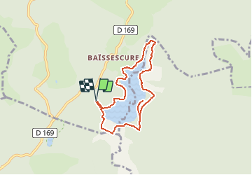

Length
7.2 km

Max alt
993 m

Uphill gradient
147 m
Km-Effort
9.2 km

Min alt
954 m

Downhill gradient
148 m
Boucle
Yes
Creation date :
2019-05-07 00:59:47.541
Updated on :
2019-05-07 00:59:47.541
2h02
Difficulty : Easy

FREE GPS app for hiking
 SityTrail
IGN / Geographical institutes
SityTrail Plus
The world is yours!
About
Trail Walking of 7.2 km to be discovered at Occitania, Hérault, Fraisse-sur-Agout. This trail is proposed by derrives.
Positioning
Country:
France
Region :
Occitania
Department/Province :
Hérault
Municipality :
Fraisse-sur-Agout
Location:
Unknown
Start:(Dec)
Start:(UTM)
482892 ; 4822761 (31T) N.
Comments