


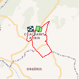

27 km | 33 km-effort


User


FREE GPS app for hiking
 SityTrail
IGN / Geographical institutes
SityTrail World
The world is yours!
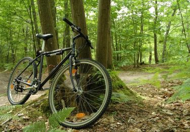
Trail Walking of 5.1 km to be discovered at Normandy, Orne, Cisai-Saint-Aubin. This trail is proposed by neitag61.
Le ruisseau de la Fontaine Bouillante
Mountain bike
Mountain bike
Mountain bike
Mountain bike


Other activity

