


Valbonnais Valsenestre 3 (Nord)

Orcal37
User GUIDE
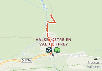

Length
1.6 km

Max alt
1397 m

Uphill gradient
96 m
Km-Effort
2.9 km

Min alt
1300 m

Downhill gradient
96 m
Boucle
Yes
Creation date :
2019-05-07 01:56:01.564
Updated on :
2021-09-20 17:08:52.977
35m
Difficulty : Medium

FREE GPS app for hiking
 SityTrail
IGN / Geographical institutes
SityTrail Plus
The world is yours!
About
Trail Walking of 1.6 km to be discovered at Auvergne-Rhône-Alpes, Isère, Valjouffrey. This trail is proposed by Orcal37.
Description
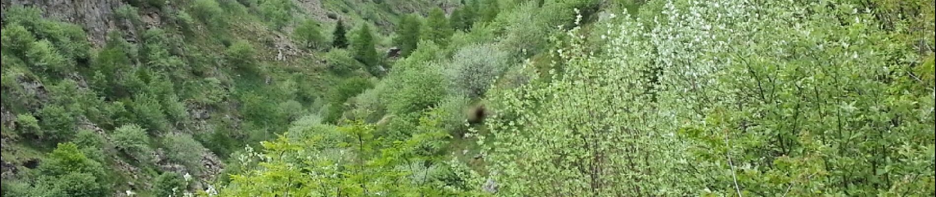
Valbonnais - Valsenestre - vers le Vallon de Valsenestre (Nord)
Photos
 - Photo 1")
 - Photo 2")
Positioning
Country:
France
Region :
Auvergne-Rhône-Alpes
Department/Province :
Isère
Municipality :
Valjouffrey
Location:
Unknown
Start:(Dec)
Start:(UTM)
267492 ; 4976902 (32T) N.
Comments