


Boucle Chenonceaux

Orcal37
User GUIDE


Length
10.1 km

Max alt
74 m

Uphill gradient
87 m
Km-Effort
11.2 km

Min alt
51 m

Downhill gradient
87 m
Boucle
Yes
Creation date :
2019-05-07 01:56:03.496
Updated on :
2021-08-24 16:31:06.719
2h00
Difficulty : Very easy

FREE GPS app for hiking
 SityTrail
IGN / Geographical institutes
SityTrail Plus
The world is yours!
About
Trail Walking of 10.1 km to be discovered at Centre-Loire Valley, Indre-et-Loire, Chenonceaux. This trail is proposed by Orcal37.
Description
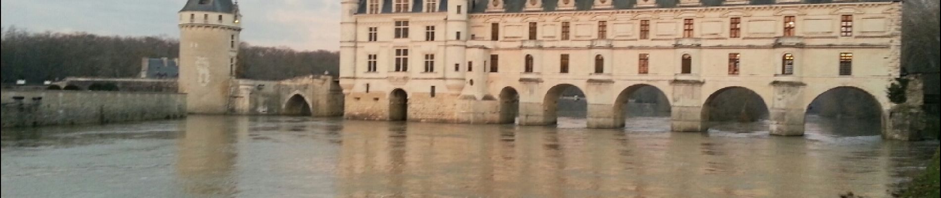
Boucle Chenonceaux via le chateau
Photos


Positioning
Country:
France
Region :
Centre-Loire Valley
Department/Province :
Indre-et-Loire
Municipality :
Chenonceaux
Location:
Unknown
Start:(Dec)
Start:(UTM)
353881 ; 5243875 (31T) N.
Comments