


Nitray - Bléré - AR - 2015 11 15

Orcal37
User GUIDE


Length
13.8 km

Max alt
80 m

Uphill gradient
125 m
Km-Effort
15.5 km

Min alt
49 m

Downhill gradient
125 m
Boucle
Yes
Creation date :
2019-05-07 01:56:22.41
Updated on :
2022-09-08 17:43:44.643
2h25
Difficulty : Easy

FREE GPS app for hiking
 SityTrail
IGN / Geographical institutes
SityTrail Plus
The world is yours!
About
Trail Walking of 13.8 km to be discovered at Centre-Loire Valley, Indre-et-Loire, Athée-sur-Cher. This trail is proposed by Orcal37.
Description
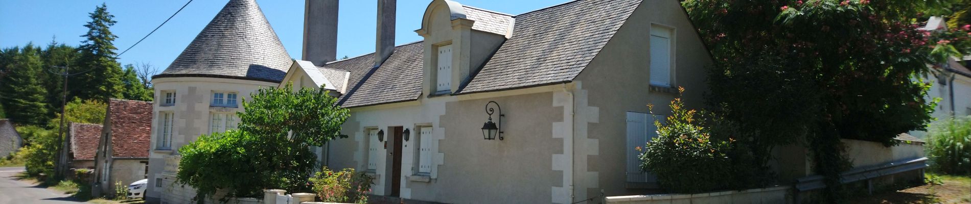
Nitray - Bléré (pont rocade) - AR - 2015 11 15
Photos

Positioning
Country:
France
Region :
Centre-Loire Valley
Department/Province :
Indre-et-Loire
Municipality :
Athée-sur-Cher
Location:
Unknown
Start:(Dec)
Start:(UTM)
341202 ; 5245442 (31T) N.
Comments