


Rochecorbon - boucle 10 km - 2016 04 10

Orcal37
User GUIDE
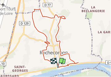

Length
10 km

Max alt
109 m

Uphill gradient
186 m
Km-Effort
12.5 km

Min alt
50 m

Downhill gradient
185 m
Boucle
Yes
Creation date :
2019-05-07 01:56:45.673
Updated on :
2021-09-07 10:19:34.965
2h15
Difficulty : Easy

FREE GPS app for hiking
 SityTrail
IGN / Geographical institutes
SityTrail Plus
The world is yours!
About
Trail Walking of 10 km to be discovered at Centre-Loire Valley, Indre-et-Loire, Rochecorbon. This trail is proposed by Orcal37.
Description
Rochecorbon - boucle 10 km - 2016 04 10
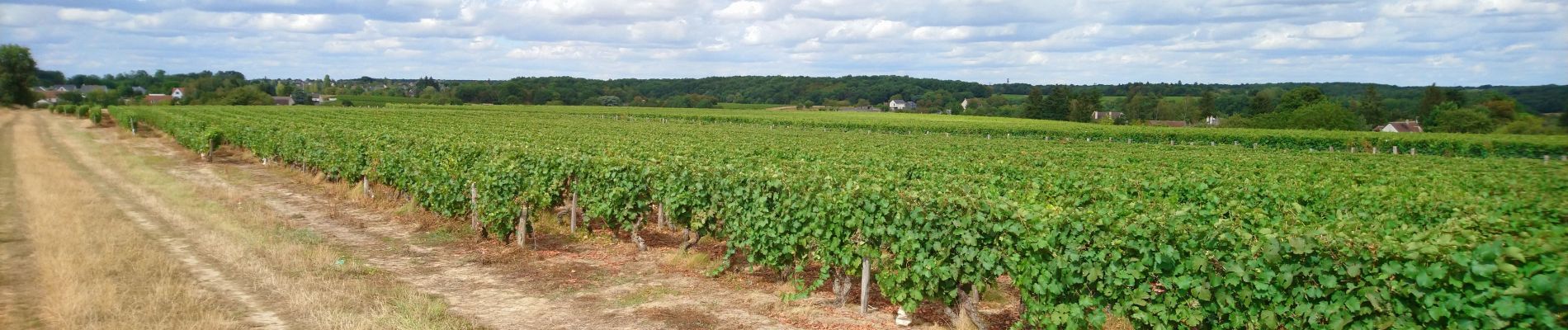
Photos


Positioning
Country:
France
Region :
Centre-Loire Valley
Department/Province :
Indre-et-Loire
Municipality :
Rochecorbon
Location:
Unknown
Start:(Dec)
Start:(UTM)
330806 ; 5252991 (31T) N.
Comments