


Tours - sud - 2016 08 20 - 9km 1h45mn

Orcal37
User GUIDE
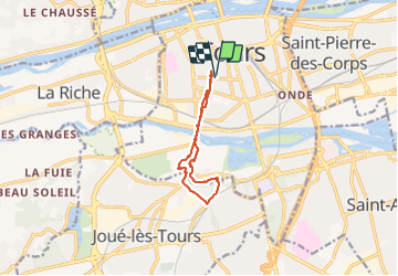

Length
9 km

Max alt
73 m

Uphill gradient
59 m
Km-Effort
9.8 km

Min alt
44 m

Downhill gradient
60 m
Boucle
Yes
Creation date :
2019-05-07 01:56:46.438
Updated on :
2021-09-14 14:37:04.535
1h45
Difficulty : Very easy

FREE GPS app for hiking
 SityTrail
IGN / Geographical institutes
SityTrail Plus
The world is yours!
About
Trail Walking of 9 km to be discovered at Centre-Loire Valley, Indre-et-Loire, Tours. This trail is proposed by Orcal37.
Description
Tours - sud - 2016 08 20 - 9km 1h45mn
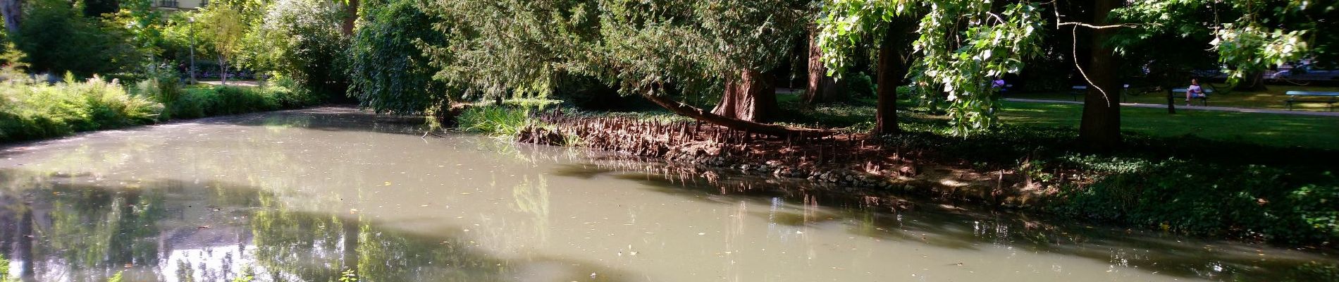
Photos

Positioning
Country:
France
Region :
Centre-Loire Valley
Department/Province :
Indre-et-Loire
Municipality :
Tours
Location:
Unknown
Start:(Dec)
Start:(UTM)
325190 ; 5250500 (31T) N.
Comments