


Artannes-sur-Indre - Pont-de-Ruan circuit 2 - 15.7km 175m 2h45 - 2017 04 17

Orcal37
User GUIDE
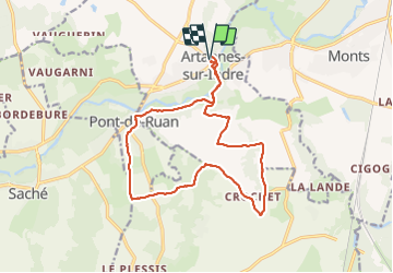

Length
15.7 km

Max alt
100 m

Uphill gradient
160 m
Km-Effort
17.8 km

Min alt
46 m

Downhill gradient
160 m
Boucle
Yes
Creation date :
2019-05-07 01:57:08.867
Updated on :
2021-07-12 13:42:19.534
2h45
Difficulty : Easy

FREE GPS app for hiking
 SityTrail
IGN / Geographical institutes
SityTrail Plus
The world is yours!
About
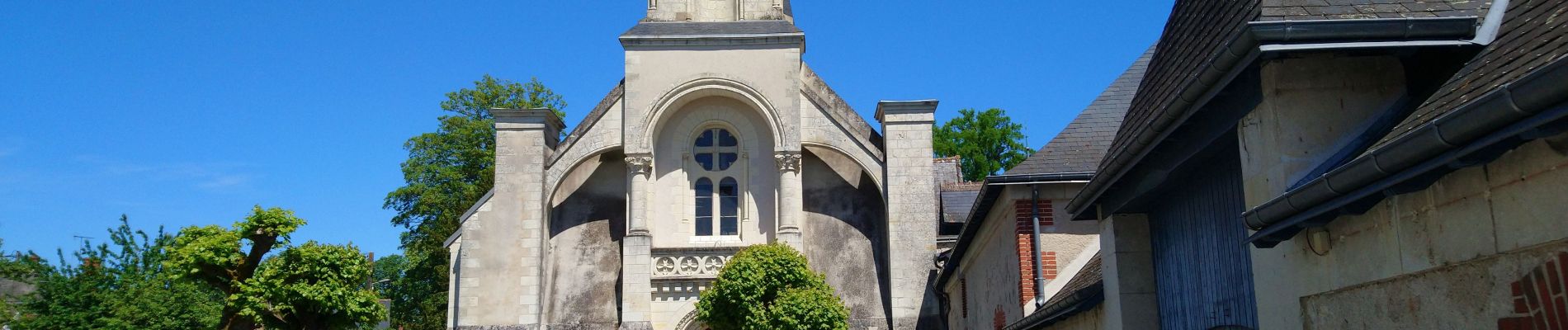
Trail Walking of 15.7 km to be discovered at Centre-Loire Valley, Indre-et-Loire, Artannes-sur-Indre. This trail is proposed by Orcal37.
Description
Artannes-sur-Indre - Pont-de-Ruan circuit 2 - 15.7km 175m 2h45 - 2017 04 17
Photos

Positioning
Country:
France
Region :
Centre-Loire Valley
Department/Province :
Indre-et-Loire
Municipality :
Artannes-sur-Indre
Location:
Unknown
Start:(Dec)
Start:(UTM)
318372 ; 5238423 (31T) N.
Comments