


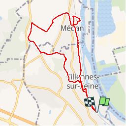

8.5 km | 10.6 km-effort


User


FREE GPS app for hiking
 SityTrail
IGN / Geographical institutes
SityTrail World
The world is yours!
Trail Walking of 8.8 km to be discovered at Ile-de-France, Yvelines, Villennes-sur-Seine. This trail is proposed by sbr.nc.
Walking

Mountain bike
Mountain bike
Walking

Walking

Walking
Walking
Walking
Nordic walking
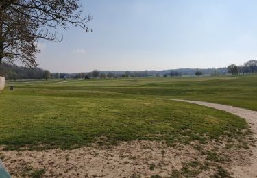
Parcours très agréable. Il y a une barrière automatique au point de départ et d'arrivée qui oblige à un petit détour. Mais rien de bien méchant.