


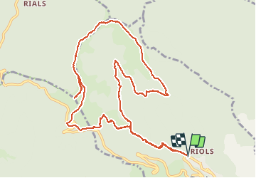

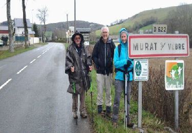
13.8 km | 21 km-effort


User


FREE GPS app for hiking
 SityTrail
IGN / Geographical institutes
SityTrail World
The world is yours!
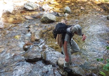
Trail Walking of 13.7 km to be discovered at Occitania, Hérault, Graissessac. This trail is proposed by labarone.
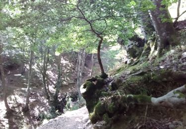
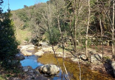
Pas facile faire attention aux endroits glissants et au passage de ruisseau


Walking

Walking
Walking
Walking
Walking

Walking

Walking
