


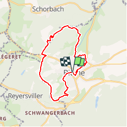

7.8 km | 10.1 km-effort

User


FREE GPS app for hiking
 SityTrail
IGN / Geographical institutes
SityTrail World
The world is yours!
Trail Walking of 12.7 km to be discovered at Grand Est, Moselle, Bitche. This trail is proposed by tracegps.
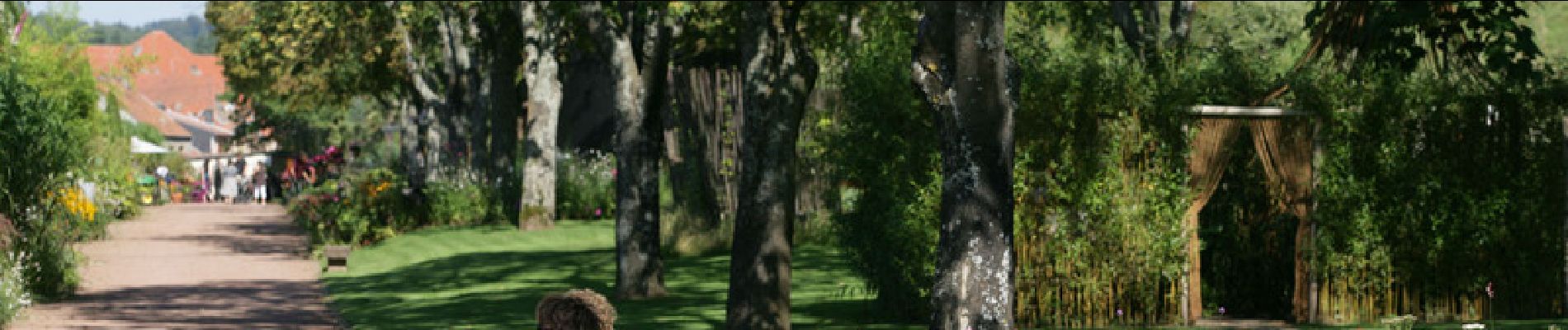
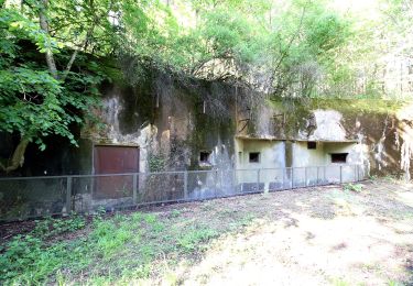
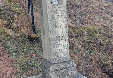
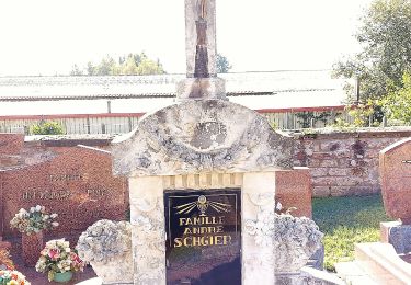
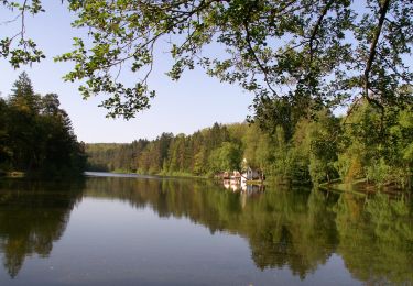
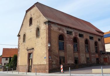
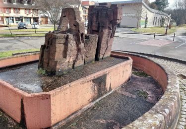
Départ place de la Chapelle de l’Étang. Quitter la place par la rue des Vosges, suivre balisage trait vertical jaune sur tout le circuit. Rue de Lebach. Sentier derrière l’hôpital et le collège Saint Augustin. Fontaine des Dragons (Dragoner Brunnen), bivouac de Dragons à cheval lors de guerres en 1679 et 1870, ancien réservoir d’eau de la ville. Schusterstein, monument érigé à la mémoire d’un maire de Bitche, président et bienfaiteur de l’Association Club Vosgien de Bitche. Longer la D620, voie de contournement de Bitche. Col du Schimberg km 4. Schiesseck (ouvrage Ligne Maginot, entrée du matériel, 700 hommes d’équipage, 9 blocs de combat). Remonter la D35, appelée « La Rosselle ». Route de Schorbach. Tombe Bavaroise datant du siège de Bitche en 1870-71. Ravin du Loup (cascade). Vallée de la Horn. Moulin de Ramstein. Chapelle Saint Sébastien (cimetière militaire). Vestiges des remparts de la ville. Fort Saint Sébastien. Rue Jouard. Espace Cassin. Jardin pour la Paix. Chemin de ronde au pied de la Citadelle. Redescendre par les lacets du glacis du château. Statue de Jeanne d’Arc. Eglise Sainte Catherine (à voir la nef sans aucun pilier et le monument à la mémoire du comte de Bombelles). Rejoindre le point de départ en longeant le Parc du Stadtweiher. Ce circuit fait partie du topoguide édité par l’association Club Vosgien de Bitche "Balades dans le Pays de Bitche", également disponible en allemand sous le titre "Wanderungen im Bitcherland". Tous les renseignements sur le site du club vosgien de Bitche sont ICI.


Walking
On foot

On foot
On foot
Dommage qu'une partie de la randonnée passe sur et à côté de deux routes très passantes et donc très bruyantes.
super application