


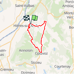
hyeres sur amby optevoz

marc6262
User

Length
19.4 km

Max alt
393 m

Uphill gradient
403 m
Km-Effort
25 km

Min alt
214 m

Downhill gradient
401 m
Boucle
Yes
Creation date :
2014-12-10 00:00:00.0
Updated on :
2014-12-10 00:00:00.0
2h26
Difficulty : Medium

FREE GPS app for hiking
 SityTrail
IGN / Geographical institutes
SityTrail Plus
The world is yours!
About
Trail Mountain bike of 19.4 km to be discovered at Auvergne-Rhône-Alpes, Isère, Hières-sur-Amby. This trail is proposed by marc6262.
Description
Grosse montée en poussant jusqu'à la madone - très beaux points de vue.
ensuite de la ballade puisune belle descente !
Attention aux enfants .... passages proches du vide
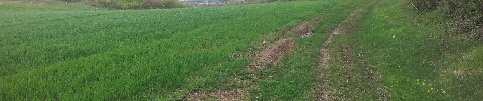
Photos


Positioning
Country:
France
Region :
Auvergne-Rhône-Alpes
Department/Province :
Isère
Municipality :
Hières-sur-Amby
Location:
Unknown
Start:(Dec)
Start:(UTM)
679055 ; 5074358 (31T) N.
Comments