


15 km | 22 km-effort


User


FREE GPS app for hiking
 SityTrail
IGN / Geographical institutes
SityTrail World
The world is yours!
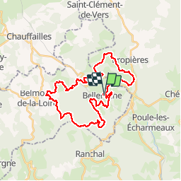
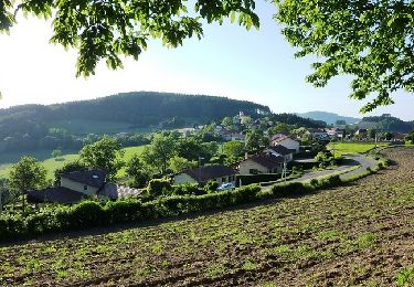
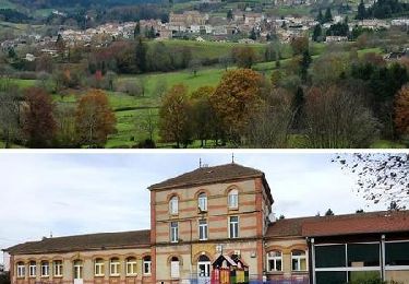
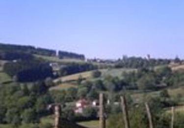
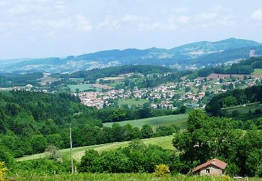
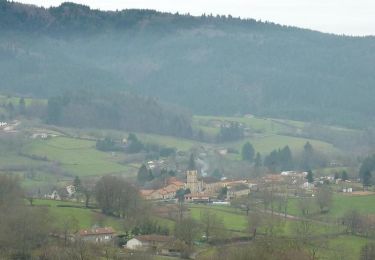
Trail Mountain bike of 33 km to be discovered at Auvergne-Rhône-Alpes, Loire, Belleroche. This trail is proposed by balli51.
Le 13-05-2012


Walking
Walking

On foot
Walking
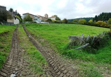
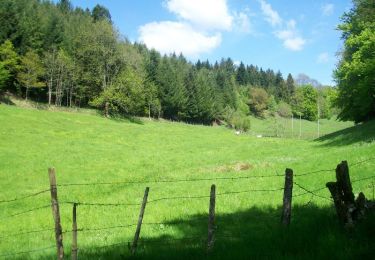
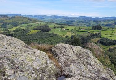
Mountain bike
Mountain bike
Walking
Mountain bike
Walking