


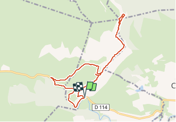

13.6 km | 21 km-effort


User


FREE GPS app for hiking
 SityTrail
IGN / Geographical institutes
SityTrail World
The world is yours!
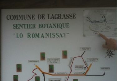
Trail Other activity of 9.9 km to be discovered at Occitania, Aude, Lagrasse. This trail is proposed by AAA34.
Walking
Walking


Walking
Walking
Walking
Walking
Walking
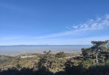
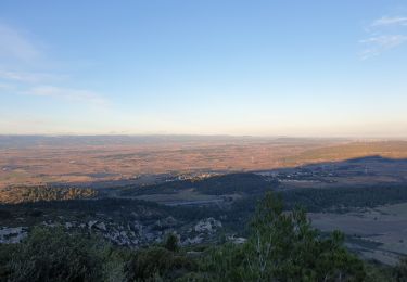
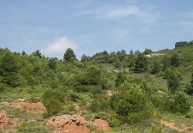
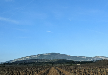
Très beau circuit surtout quand le ciel est clair. Vue sur les Pyrénées et la Méditerranée. C'est superbe. Du signal le panorama est exceptionnel.