Maillé

olaze
User

Length
11.1 km

Max alt
10 m

Uphill gradient
41 m
Km-Effort
11.7 km

Min alt
-1 m

Downhill gradient
41 m
Boucle
Yes
Creation date :
2014-12-10 00:00:00.0
Updated on :
2014-12-10 00:00:00.0
3h07
Difficulty : Easy

FREE GPS app for hiking
 SityTrail
IGN / Geographical institutes
SityTrail Plus
The world is yours!
About
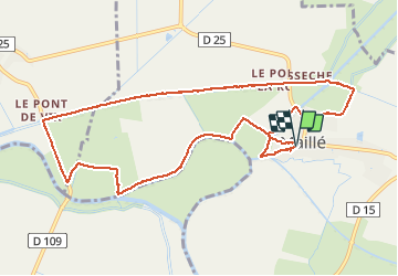
Trail Walking of 11.1 km to be discovered at Pays de la Loire, Vendée, Maillé. This trail is proposed by olaze.
Description
Départ & retour Maillé (Vendée).
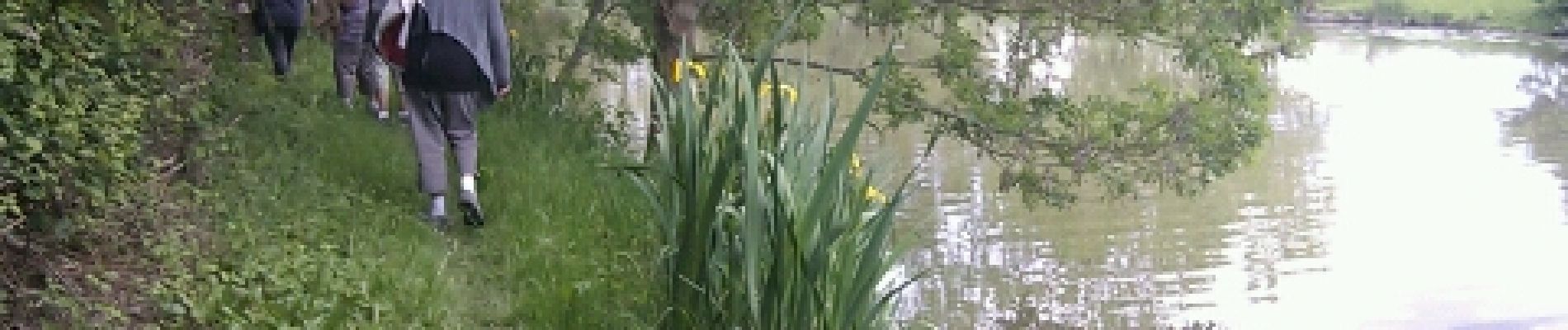
Le long des canaux, de la digue de la Bougraine et de La Sèvres Niortaise.
Club rando Bessines.mai 2012.
Photos


Positioning
Country:
France
Region :
Pays de la Loire
Department/Province :
Vendée
Municipality :
Maillé
Location:
Unknown
Start:(Dec)
Start:(UTM)
670062 ; 5134409 (30T) N.
Comments