Trail Mountain bike Maing - boucle autour de Maing - Photo

boucle autour de Maing

© OpenStreetMap contributors
Length
Length
16.5 km
Max alt
Max alt
91 m
Uphill gradient
Uphill gradient
118 m
Km-Effort
Km-Effort  
18.1 km
Min alt
Min alt
19 m
Downhill gradient
Downhill gradient
118 m
Boucle
Boucle
Yes
Creation date :
2014-12-10 00:00:00.0
Updated on :
2014-12-10 00:00:00.0

(0 Reviews)

Mountain bike
Mountain bike
2h00
Difficulty : Medium

Scan this QR Code to open this trail in the SityTrail application

FREE GPS app for hiking

Logo SityTrail SityTrail

IGN / Geographical institutes

Download SityTrail from the App Store Download SityTrail from Google Play

Logo SityTrail SityTrail World

The world is yours!

Download SityTrail from the App Store Download SityTrail from Google Play Download SityTrail on Huawei AppGallery

About

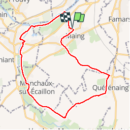
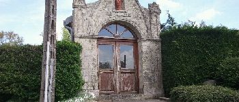
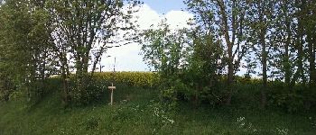
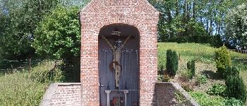
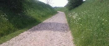
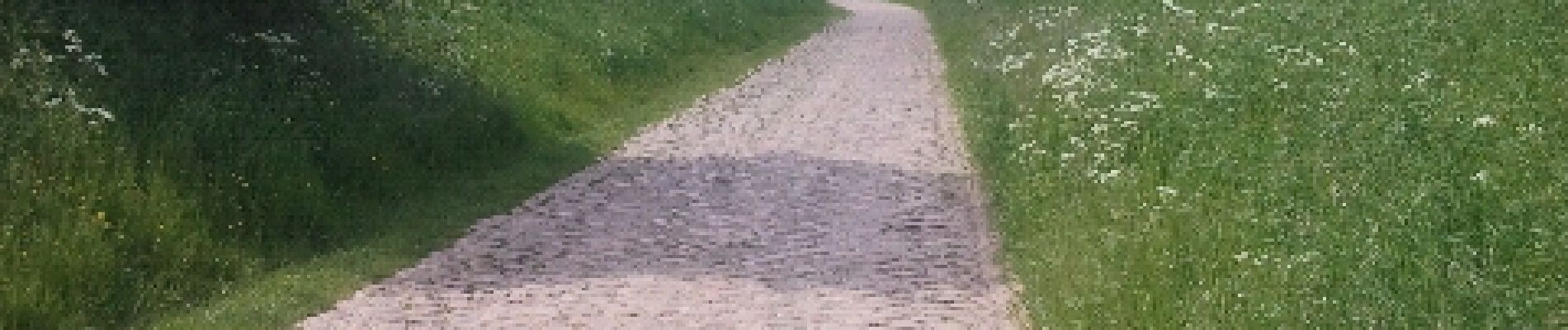
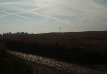
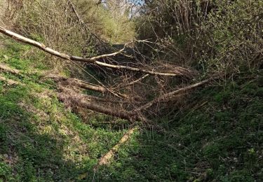
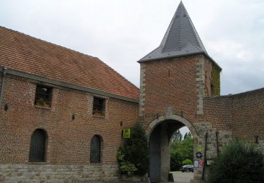
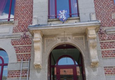
Trail Mountain bike of 16.5 km to be discovered at Hauts-de-France, Nord, Maing. This trail is proposed by Obeone2264.

Description

Boucle en vtc ou VTT, chemins carrossables tout le long.

Elevation profile

Photos

Points of interest

Point of interest Prouvy - l'écaillon  - Photo
Obeone2264
PROUVY 
Point of interest Thiant - Pont sur l'écaillon - Photo
Obeone2264
Point of interest Monchaux-sur-Écaillon - chapelle st rémi PPN  - Photo
Obeone2264
MONCHAUX-SUR-ÉCAILLON 
Point of interest Verchain-Maugré - le gros arbre - Photo
Obeone2264
VERCHAIN-MAUGRÉ 
Point of interest Verchain-Maugré - chapelle  - Photo
Obeone2264
VERCHAIN-MAUGRÉ 
Point of interest Maing - secteur pavé  - Photo
Obeone2264
Point of interest Quérénaing - église de Querenain - Photo
Obeone2264
QUÉRÉNAING 

Positioning

Country:
France
Region :
Hauts-de-France
Department/Province :
Nord
Municipality :
Maing
Location:
Unknown
Start:(UTM)
534641 ; 5573321 (31U) N.

Trails nearby

Trail Walking Quérénaing - la querenaingeoise trace faite - Photo
Walking
papiou

Walking

Very easy
Quérénaing, Hauts-de-France, Nord, France
9.1 km | 10.2 km-effort
1h 33min
Yes
Trail Walking Maing - Maing-circuit pas de boeuf, version 11km - Photo
Walking
papiou

Walking

Medium
Maing, Hauts-de-France, Nord, France
11.2 km | 12.5 km-effort
2h 32min
Yes
Trail Walking Aulnoy-lez-Valenciennes - La vallée de la Rhonelle - Aulnoy-lez-Valenciennes - Photo
Walking
tracegps

Walking

Medium
Aulnoy-lez-Valenciennes, Hauts-de-France, Nord, France
9.9 km | 11 km-effort
2h 30min
Yes
Trail Walking Verchain-Maugré - interclub du 16/4/23. 9 km - Photo
Walking
papiou

Walking

Easy
Verchain-Maugré, Hauts-de-France, Nord, France
9.2 km | 10.2 km-effort
2h 0min
Yes
Trail Mountain bike Marly - zette - Photo
Mountain bike
jdaviere

Mountain bike

Very difficult
Marly, Hauts-de-France, Nord, France
40 km | 45 km-effort
2h 11min
Yes
Trail Walking Quérénaing - Querenaing, rando Pascal 9 Km - Photo
Walking
papiou

Walking

Medium
Quérénaing, Hauts-de-France, Nord, France
9 km | 10.1 km-effort
2h 0min
Yes
Trail Walking Verchain-Maugré - verchain maugre par maing  - Photo
Walking
BrassensJC

Walking

Easy
Verchain-Maugré, Hauts-de-France, Nord, France
11.3 km | 12.7 km-effort
2h 40min
No
Trail Walking La Sentinelle - Valenciennes, autour du vignoble et de l'étang de Trith - Photo
Walking
papiou

Walking

Very easy
La Sentinelle, Hauts-de-France, Nord, France
8.4 km | 9.2 km-effort
1h 51min
Yes
Trail Other activity Valenciennes - Nord - Pas-de-Calais - Ligne 253 - Valenciennes-Faubourg-de-Paris - Hautmont - Photo
Other activity
mich54

Other activity

Very easy
Valenciennes, Hauts-de-France, Nord, France
36 km | 39 km-effort
5min
No


Close
My subscriptions