


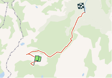

3.2 km | 7.2 km-effort


User


FREE GPS app for hiking
 SityTrail
IGN / Geographical institutes
SityTrail World
The world is yours!
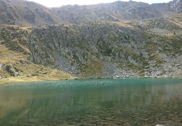
Trail Walking of 10.5 km to be discovered at Occitania, Ariège, Aston. This trail is proposed by eroes.
depuis la cabane de la sabine
avec retour au barrage de riete

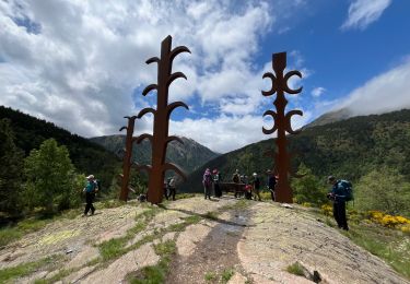

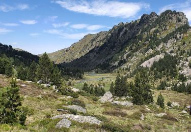
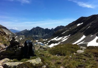
Walking