


8.5 km | 10 km-effort

User


FREE GPS app for hiking
 SityTrail
IGN / Geographical institutes
SityTrail World
The world is yours!
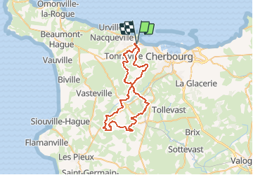
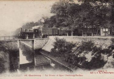
Trail Mountain bike of 50 km to be discovered at Normandy, Manche, Cherbourg-en-Cotentin. This trail is proposed by tracegps.
Randonnée pratiquée dans le cadre de "La rando des p'tiots" dont je félicite l'organisation ainsi que les sympathiques bénévoles qui nous ont bichonnés pendant les ravitaillements. Le club "VTT les Haguards" vous invite à venir nous rejoindre les dimanches matins à 8h45 dans un rayon de 20 km autour de Cherbourg afin de découvrir de fabuleux sentiers dans une ambiance sportive et conviviale. Nous roulons environ 3h et nous formons des groupes en fonction des allures afin de satisfaire tous les participants. Les Haguards c'est aussi des adhérents qui n'hésitent pas à se déplacer sur des épreuves réputées dans tous l'hexagone tel que "La Gamelle Trophy, la Jean Racine, le roc d'azur, les Sentiers de la Hague^^ etc......". Donc si vous en avez assez de pédaler seul, contactez-nous par mail ou sur Facebook "Vtt les Haguards" et je vous indiquerai notre prochain lieu de RDV. Alors à dimanche!!


Walking
Mountain bike

Mountain bike
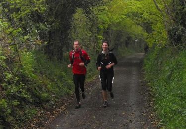
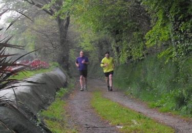
Running
Mountain bike
Mountain bike
Walking

Walking