


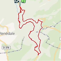


14.8 km | 23 km-effort

User


FREE GPS app for hiking
 SityTrail
IGN / Geographical institutes
SityTrail World
The world is yours!
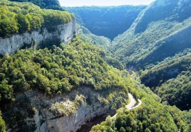
Trail Walking of 10.6 km to be discovered at Bourgogne-Franche-Comté, Doubs, Mouthier-Haute-Pierre. This trail is proposed by tracegps.
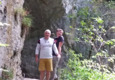
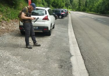
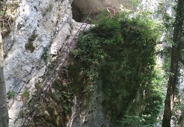
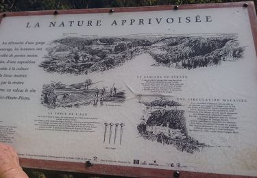
Départ 1er parking à gauche sur la D67 après Montier Haute Pierre. Descendre dans les profondes gorges et remonter le cours de la Loue, continuer jusqu’à la source puis monter jusqu'au parking. Prendre à gauche un chemin qui monte vers la D67, à suivre sur le côté gauche jusqu'au départ (nombreuses vues sur les gorges).


Walking

Walking
Walking

On foot

Walking
Walking
Walking
Walking
Walking