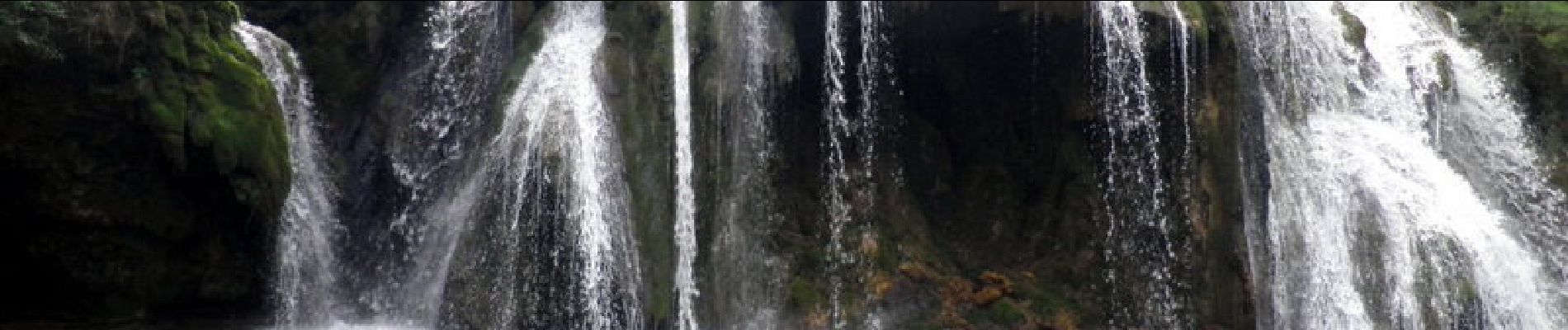
Cascade des Tufs - Arbois

tracegps
User


2h40
Difficulty : Medium

FREE GPS app for hiking
 SityTrail
IGN / Geographical institutes
SityTrail Plus
The world is yours!
About
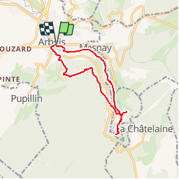
Trail Walking of 12.2 km to be discovered at Bourgogne-Franche-Comté, Jura, Arbois. This trail is proposed by tracegps.
Description
Départ parking du Champs de Mars à Arbois. Passer près de la Tour Gloriette puis monter à l'Ermitage. Suivre le GR59, le quitter pour descendre à Les Planches, aller dans la reculée pour voir la cascade des Tufs, magnifique est trop faible pour décrire cet endroit ! Retour par la petite route qui longe la Cuisance par la gauche. Cascade à voir et retour à Arbois par un quartier très ancien.
Photos


Positioning
Comments