


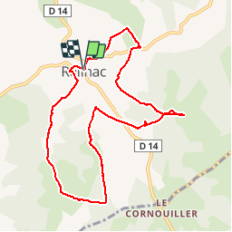


9 km | 10.5 km-effort


User


FREE GPS app for hiking
 SityTrail
IGN / Geographical institutes
SityTrail World
The world is yours!
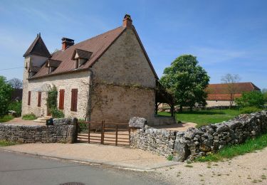
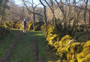
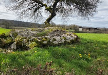
Trail Walking of 10 km to be discovered at Occitania, Lot, Reilhac. This trail is proposed by marmotte64.

Other activity
Walking
Walking

Road bike
Road bike
Road bike

Coupling

Walking
Monteils Marcilhac Grezes Brengues Grealou Marcilhac Monteils ; 2 côtes