


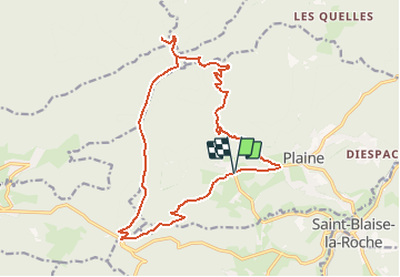


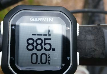
13 km | 19 km-effort

User


FREE GPS app for hiking
 SityTrail
IGN / Geographical institutes
SityTrail World
The world is yours!
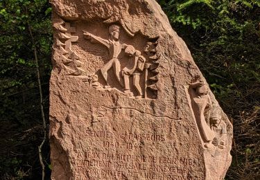
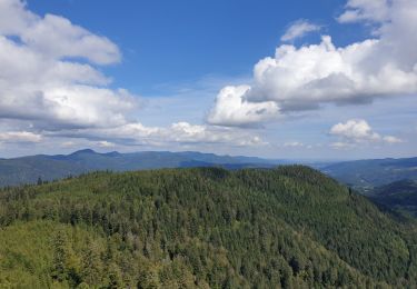
Trail Walking of 17.9 km to be discovered at Grand Est, Bas-Rhin, Plaine. This trail is proposed by VacheKiri67.
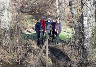
Balisage : triangle jaune - rectangle jaune - disque jaune - triangle jaune. Faite le 09/06/2012 en 6h30 (dont 1h00 de pauses) avec notre fils de 7 ans.
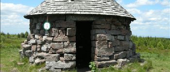
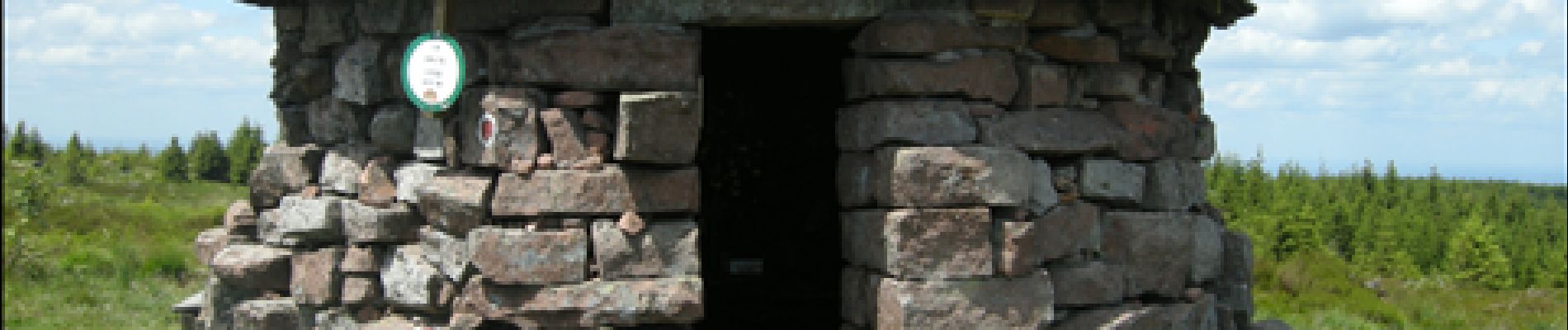
La montée à l'abri de la Haute Loge vaut vraiment l'effort !
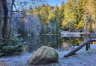
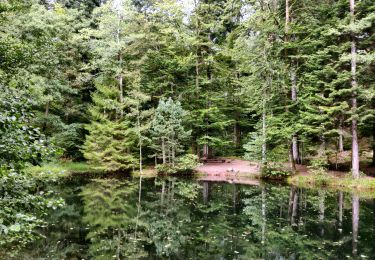
On peut raccourcir depuis l'étang de la Falle en suivant tout droit le chemin forestier qui ramène directement sur Champenay.

Walking

Walking
Walking
Mountain bike
Walking
Walking
Walking
Horseback riding