


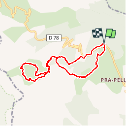


9 km | 17.6 km-effort

User


FREE GPS app for hiking
 SityTrail
IGN / Geographical institutes
SityTrail World
The world is yours!
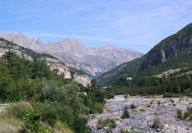
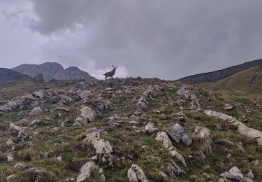
Trail Walking of 12 km to be discovered at Provence-Alpes-Côte d'Azur, Maritime Alps, Saint-Martin-d'Entraunes. This trail is proposed by pascalspr.
Séjour à l'auberge très agréable
Cherche coéquipier pour rando été hiver 0674087501


On foot
On foot

Walking

Snowshoes
Trail

Walking
Walking
Walking
Walking