


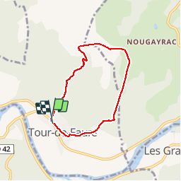


17.7 km | 24 km-effort

User


FREE GPS app for hiking
 SityTrail
IGN / Geographical institutes
SityTrail World
The world is yours!
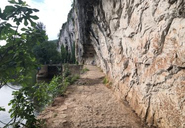
Trail Walking of 5.7 km to be discovered at Occitania, Lot, Tour-de-Faure. This trail is proposed by tracegps.
Départ de la mairie de Tour-de-Faure, prendre la route de gauche face à la mairie une montée dans le bois de Carrat.


Walking
Walking
Walking

sport
sport
Walking
Walking
Walking
Walking