


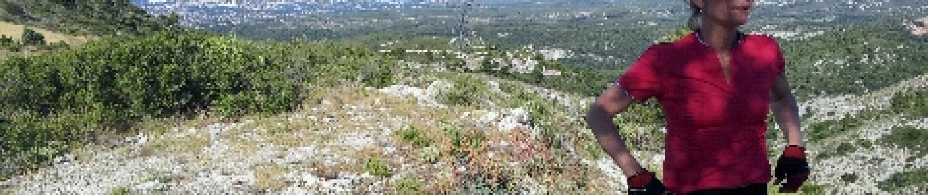
le terme par le ratier et pichauris

harydh
User GUIDE
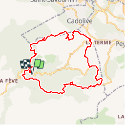

Length
21 km

Max alt
570 m

Uphill gradient
567 m
Km-Effort
28 km

Min alt
235 m

Downhill gradient
566 m
Boucle
Yes
Creation date :
2014-12-10 00:00:00.0
Updated on :
2014-12-10 00:00:00.0
2h27
Difficulty : Medium

FREE GPS app for hiking
 SityTrail
IGN / Geographical institutes
SityTrail Plus
The world is yours!
About
Trail Mountain bike of 21 km to be discovered at Provence-Alpes-Côte d'Azur, Bouches-du-Rhône, Allauch. This trail is proposed by harydh.
Description
beau mais chaud
Photos

Positioning
Country:
France
Region :
Provence-Alpes-Côte d'Azur
Department/Province :
Bouches-du-Rhône
Municipality :
Allauch
Location:
Unknown
Start:(Dec)
Start:(UTM)
703566 ; 4804722 (31T) N.
Comments