


gorges du verdon

Vincentetourmy
User

Length
7.3 km

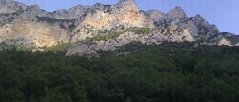
Max alt
581 m

Uphill gradient
215 m
Km-Effort
10.2 km

Min alt
470 m

Downhill gradient
214 m
Boucle
Yes
Creation date :
2014-12-10 00:00:00.0
Updated on :
2014-12-10 00:00:00.0
1h26
Difficulty : Medium

FREE GPS app for hiking
 SityTrail
IGN / Geographical institutes
SityTrail Plus
The world is yours!
About
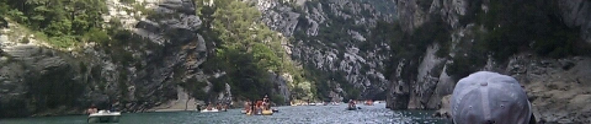
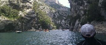
Trail Other activity of 7.3 km to be discovered at Provence-Alpes-Côte d'Azur, Var, Aiguines. This trail is proposed by Vincentetourmy.
Description
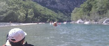
kayack
Photos


Positioning
Country:
France
Region :
Provence-Alpes-Côte d'Azur
Department/Province :
Var
Municipality :
Aiguines
Location:
Unknown
Start:(Dec)
Start:(UTM)
278479 ; 4853452 (32T) N.
Comments