


Jogging

Cousson
User
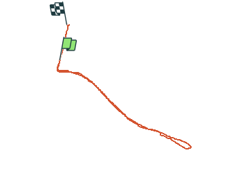

Length
3.6 km

Max alt
196 m

Uphill gradient
15 m
Km-Effort
3.8 km

Min alt
187 m

Downhill gradient
13 m
Boucle
No
Creation date :
2014-12-10 00:00:00.0
Updated on :
2014-12-10 00:00:00.0
24m
Difficulty : Easy

FREE GPS app for hiking
 SityTrail
IGN / Geographical institutes
SityTrail Plus
The world is yours!
About
Trail Running of 3.6 km to be discovered at Bourgogne-Franche-Comté, Nièvre, Decize. This trail is proposed by Cousson.
Description
Canal loire jonction
Positioning
Country:
France
Region :
Bourgogne-Franche-Comté
Department/Province :
Nièvre
Municipality :
Decize
Location:
Unknown
Start:(Dec)
Start:(UTM)
534766 ; 5185232 (31T) N.
Comments