


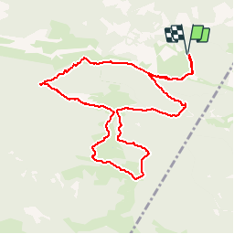


3.2 km | 5.1 km-effort


User


FREE GPS app for hiking
 SityTrail
IGN / Geographical institutes
SityTrail World
The world is yours!
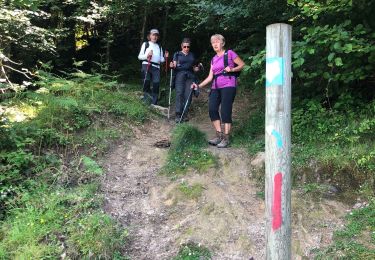
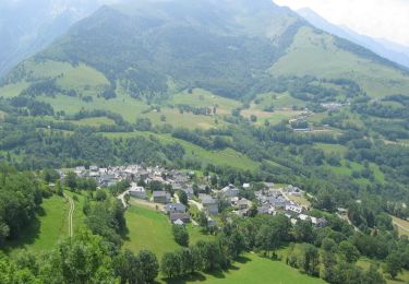
Trail Walking of 10.9 km to be discovered at Occitania, Hautespyrenees, Esparros. This trail is proposed by jmquentin.
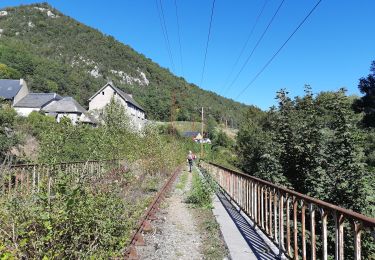
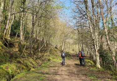
Plus d'images de la balade sur:
http://maithejeanpaul.over-blog.com/

Walking
Walking
Walking
Walking
Walking

On foot
Walking
Walking
Mountain bike
Absolument top et génial vous donne vraiment donne les randos du coin et c génial . La précision est au rendez vous. Une astuce charge votre rando depuis un point wifi et partez ensuite tranquille. Que du bonheur