


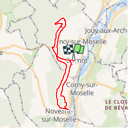


12 km | 16 km-effort

User


FREE GPS app for hiking
 SityTrail
IGN / Geographical institutes
SityTrail World
The world is yours!
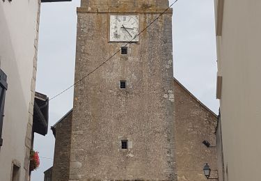
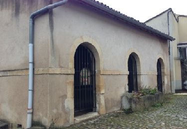
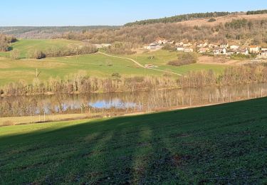
Trail Walking of 13.2 km to be discovered at Grand Est, Moselle, Ancy-Dornot. This trail is proposed by pascalcla.
Superbe balade avec des magnifiques vues sur la vallée de la Mozelle. Passage par des lieux emblématiques de la région.
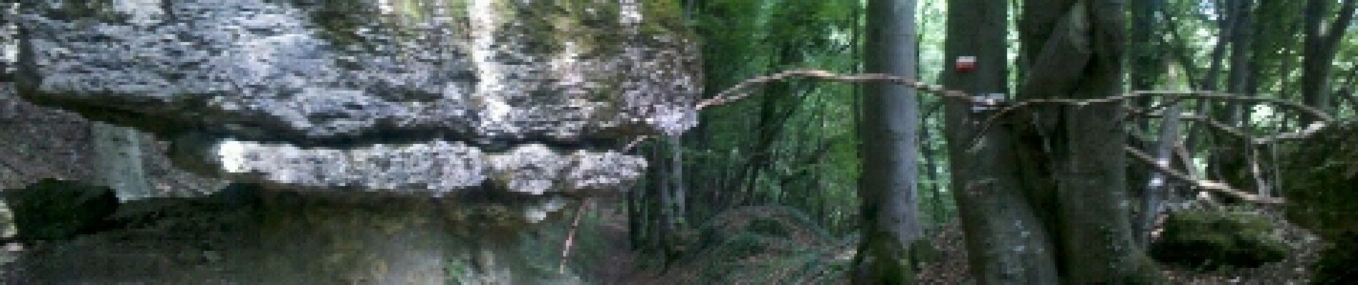
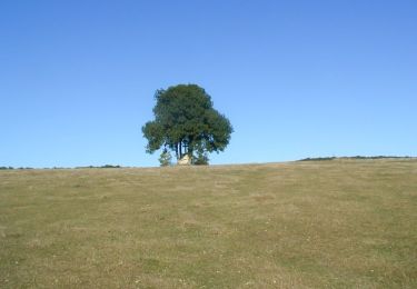
Décidément, j'ai un faible pour ces rochers de la Fraze...


On foot
Walking
Walking
Mountain bike

Cycle
Walking

Walking
Walking
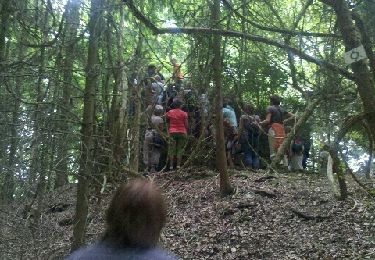
Très belle rando