


soum de lascours aléas bis

harydh
User GUIDE
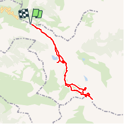

Length
18 km

Max alt
2472 m

Uphill gradient
1109 m
Km-Effort
33 km

Min alt
1558 m

Downhill gradient
1108 m
Boucle
Yes
Creation date :
2014-12-10 00:00:00.0
Updated on :
2014-12-10 00:00:00.0
5h55
Difficulty : Medium

FREE GPS app for hiking
 SityTrail
IGN / Geographical institutes
SityTrail Plus
The world is yours!
About
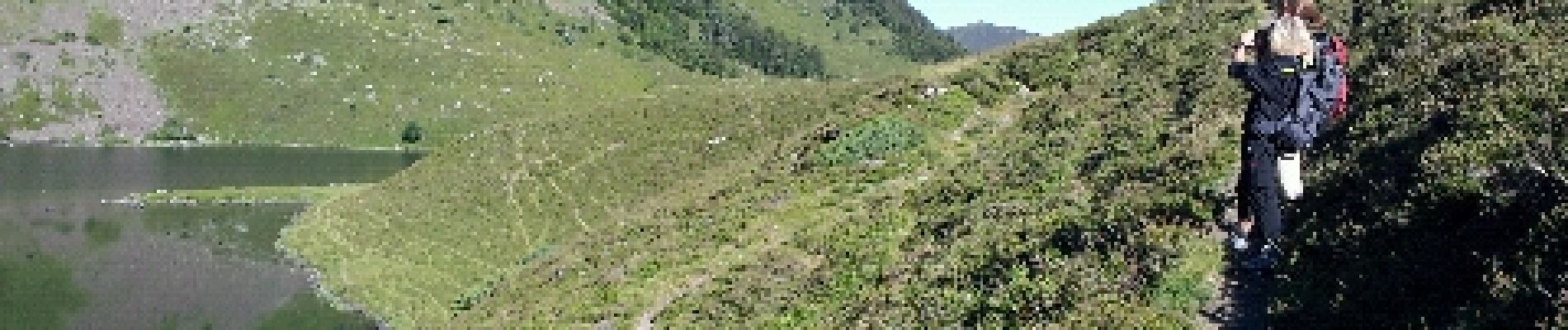
Trail Walking of 18 km to be discovered at Occitania, Hautespyrenees, Beaucens. This trail is proposed by harydh.
Photos


42 photos in total. Please click on a photo to see them all in the gallery.
Positioning
Country:
France
Region :
Occitania
Department/Province :
Hautespyrenees
Municipality :
Beaucens
Location:
Unknown
Start:(Dec)
Start:(UTM)
255846 ; 4761657 (31T) N.
Comments