


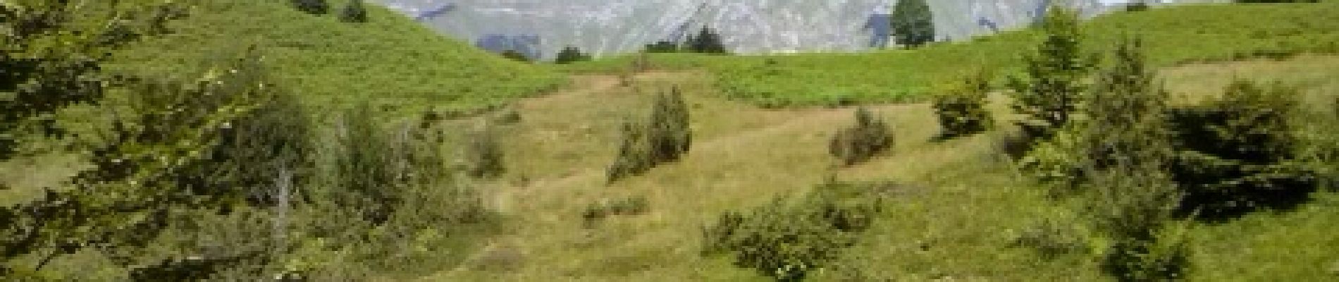
cascade ars et etang guzet

fbienmuller
User
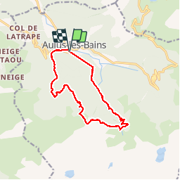

Length
15.3 km

Max alt
1592 m

Uphill gradient
936 m
Km-Effort
28 km

Min alt
752 m

Downhill gradient
941 m
Boucle
Yes
Creation date :
2014-12-10 00:00:00.0
Updated on :
2014-12-10 00:00:00.0
4h58
Difficulty : Difficult

FREE GPS app for hiking
 SityTrail
IGN / Geographical institutes
SityTrail Plus
The world is yours!
About
Trail Walking of 15.3 km to be discovered at Occitania, Ariège, Aulus-les-Bains. This trail is proposed by fbienmuller.
Description
marche
Photos


Positioning
Country:
France
Region :
Occitania
Department/Province :
Ariège
Municipality :
Aulus-les-Bains
Location:
Unknown
Start:(Dec)
Start:(UTM)
364009 ; 4738631 (31T) N.
Comments