


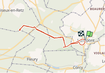


17.5 km | 21 km-effort


forêts de France


FREE GPS app for hiking
 SityTrail
IGN / Geographical institutes
SityTrail World
The world is yours!
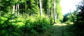
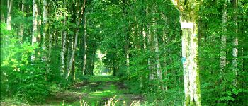
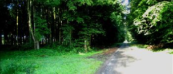
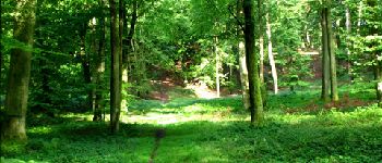
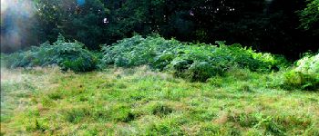
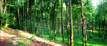
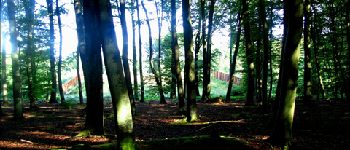
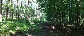
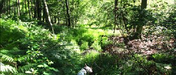
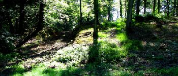
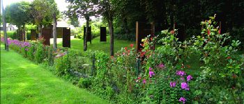
Trail Walking of 16.1 km to be discovered at Hauts-de-France, Aisne, Longpont. This trail is proposed by en forêt de Retz.
voir aussi:
http://foret-de-retz.over-blog.com/
08/2012
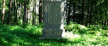
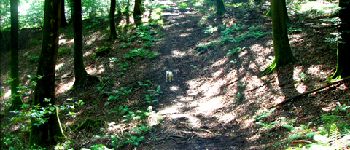
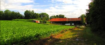
A partir de Longpont, prendre le GR11A puis le vieux chemin de Longpont, tourner au carrefour Bosc dans la laie des grands Charmes. Au carrefour des écuries, prendre la route de Chavigny jusqu''au carrefour de Chavigny. Prendre la laie des monthieux, traverser le pont de la N2 puis rejoindre le carrefour des têtes salmon et enfin le monument du général Mangin. Et retour en terminant par la D2 jusqu''à Longpont.


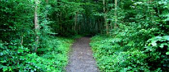
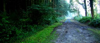
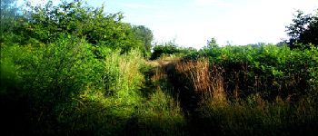
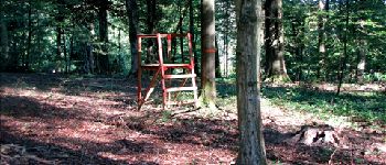
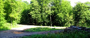
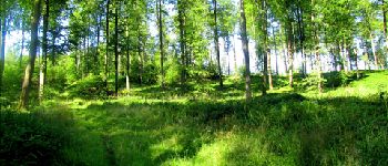
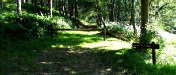
25 photos in total. Please click on a photo to see them all in the gallery.

Walking

Walking

Walking

On foot

On foot

Walking

Walking

Walking

Walking