


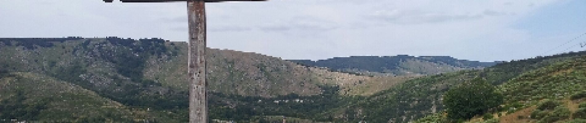
Saint Guiral

VacheKiri67
User
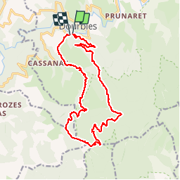

Length
18.9 km

Max alt
1344 m

Uphill gradient
636 m
Km-Effort
27 km

Min alt
861 m

Downhill gradient
630 m
Boucle
Yes
Creation date :
2014-12-10 00:00:00.0
Updated on :
2014-12-10 00:00:00.0
6h25
Difficulty : Difficult

FREE GPS app for hiking
 SityTrail
IGN / Geographical institutes
SityTrail Plus
The world is yours!
About
Trail Walking of 18.9 km to be discovered at Occitania, Gard, Dourbies. This trail is proposed by VacheKiri67.
Description
Faite le 20/07/2012 en 6h55 (dont 0h30 de pause repas) avec notre fils de 7 ans.
Plus de détails : http://randonnee.cevenole.free.fr/index.php5?vue=topo&modele=StGuiral
Photos


Positioning
Country:
France
Region :
Occitania
Department/Province :
Gard
Municipality :
Dourbies
Location:
Unknown
Start:(Dec)
Start:(UTM)
535478 ; 4878803 (31T) N.
Comments